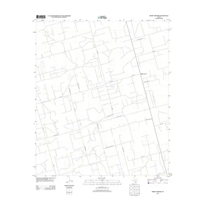
2012 Map of Bigby Corner
USGS Topo · Published 2012About this map
Bigby Corner serves as the focal point of this Glasscock County landscape, where the rectilinear grid of West Texas ranching and industrial roads dominates the terrain. The presence of Tank Farm Rd and numerous private access ways like Private Road 1810 suggests an active energy or agricultural infrastructure characteristic of this region. Transport is facilitated by regional arteries including Hwy-137 and the intersection of Ranch Road 2401 and Farm-To-Market Road 2401.
Find a feature on this map
20 named features on this map. Tap any name to fly to it.
Don’t see what you’re looking for? This feature index may not catch every label — zoom into the map to look around manually.
Map Details
Editions of this 2012 Bigby Corner Map
This is the sole edition of this map. No revisions or reprints were ever made.
Other maps of this area

1954 · San Angelo
USGS Topo · 1:250,000

1958 · San Angelo
USGS Topo · 1:250,000

1965 · San Angelo
USGS Topo · 1:250,000

1965 · Dewey Lake SE
USGS Topo · 1:24,000

1965 · Pecks Lake
USGS Topo · 1:24,000

1965 · Patterson Lake
USGS Topo · 1:24,000

1967 · Midkiff
USGS Topo · 1:24,000

1968 · Midkiff SE
USGS Topo · 1:24,000

1973 · Saint Lawrence SE
USGS Topo · 1:24,000

1973 · Bigby Corner
USGS Topo · 1:24,000