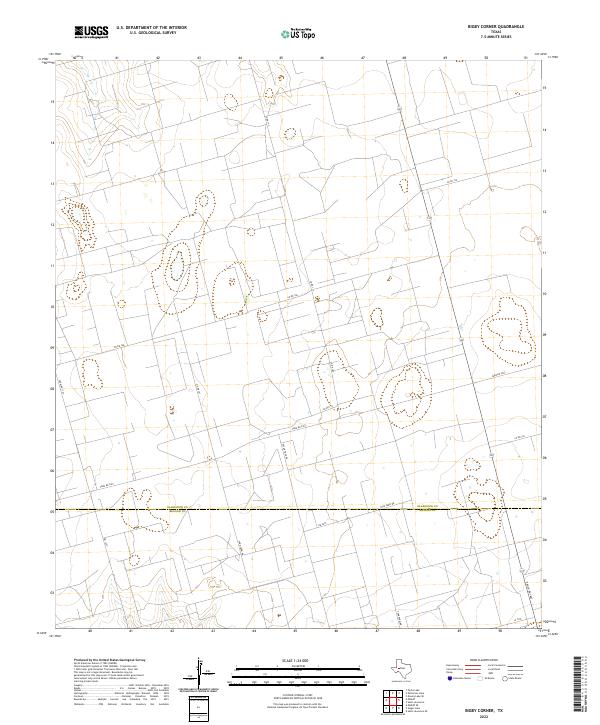
2022 Map of Bigby Corner
USGS Topo · Published 2022About this map
The boundary between Glasscock Co and Reagan Co bisects this West Texas landscape, a region defined by a precise grid of rural transit and energy infrastructure. The presence of Tank Farm Rd and Pecan Tree Rd suggests the industrial and agricultural character of the territory, where large-scale land management is evident in the rectilinear network of county and ranch roads. Major arterial routes like Farm Rd 2401 and Ranch Rd 1800 provide the primary connection points across the high plains, linking dispersed operations with the broader region. This 2022 survey details the modern layout of these thoroughfares, including numerous local connectors such as Co Rd 113 and Co Rd 106, which serve as the backbone for contemporary land use and property access in this portion of the Permian Basin.
Find a feature on this map
13 named features on this map. Tap any name to fly to it.
Don’t see what you’re looking for? This feature index may not catch every label — zoom into the map to look around manually.
Map Details
Editions of this 2022 Bigby Corner Map
This is the sole edition of this map. No revisions or reprints were ever made.
Other maps of this area

1954 · San Angelo
USGS Topo · 1:250,000

1958 · San Angelo
USGS Topo · 1:250,000

1965 · San Angelo
USGS Topo · 1:250,000

1965 · Dewey Lake SE
USGS Topo · 1:24,000

1965 · Pecks Lake
USGS Topo · 1:24,000

1965 · Patterson Lake
USGS Topo · 1:24,000

1967 · Midkiff
USGS Topo · 1:24,000

1968 · Midkiff SE
USGS Topo · 1:24,000

1973 · Saint Lawrence SE
USGS Topo · 1:24,000

1973 · Bigby Corner
USGS Topo · 1:24,000