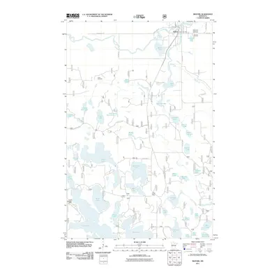
2011 Map of Bigfork
USGS Topo · Published 2011About this map
Bigfork serves as the primary hub of this Northwoods landscape, situated where the Big Fork River meets the Rice River. The map reveals a post-millennium perspective on the region's managed wilderness and recreation-driven economy. Infrastructure like the Bigfork Post Office and the Edge of the Wilderness Golf Course anchor the town, while the surrounding forest is interlaced with a complex network of forest roads and trails, such as the Maple Turtle Trl.
Find a feature on this map
61 named features on this map. Tap any name to fly to it.
Don’t see what you’re looking for? This feature index may not catch every label — zoom into the map to look around manually.
Map Details
Editions of this 2011 Bigfork Map
This is the sole edition of this map. No revisions or reprints were ever made.
Other maps of this area

1918 · Zora
USGS Topo · 1:62,500

1919 · Zora
USGS Topo · 1:62,500

1919 · Marcell
USGS Topo · 1:62,500

1954 · Hibbing
USGS Topo · 1:250,000

1957 · Hibbing
USGS Topo · 1:250,000

1958 · Hibbing
USGS Topo · 1:250,000

1964 · Hibbing
USGS Topo · 1:250,000

1970 · Clubhouse Lake
USGS Topo · 1:24,000

1970 · Jessie Lake
USGS Topo · 1:24,000

1970 · Coon Lake
USGS Topo · 1:24,000