
1970 Map of Coon Lake
USGS Topo · Published 1973About this map
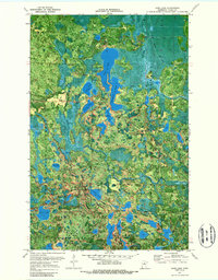
Scenic State Park anchors this orthophotomap, showing a complex landscape of glacial lakes and northern forests at the start of the 1970s. The map illustrates a high concentration of water bodies including Coon Lake, Sandwich Lake, and the smaller Lake of Isles, many of which are connected by narrow channels or separated by thin eskers. Park infrastructure is visible at the State Park Headquarters and multiple Campgrounds, while a Lookout Tower and Water Tank stand as prominent landmarks on the higher ground between the lakes.
Find a feature on this map
45 named features on this map. Tap any name to fly to it.
Don’t see what you’re looking for? This feature index may not catch every label — zoom into the map to look around manually.
Map Details
Editions of this 1970 Coon Lake Map
2 editions found
Other maps of this area

1919 · Release
USGS Topo · 1:62,500

1919 · Marcell
USGS Topo · 1:62,500

1943 · Release
USGS Topo · 1:62,500

1954 · Hibbing
USGS Topo · 1:250,000

1957 · Hibbing
USGS Topo · 1:250,000

1958 · Hibbing
USGS Topo · 1:250,000

1964 · Hibbing
USGS Topo · 1:250,000

1970 · Clubhouse Lake
USGS Topo · 1:24,000
1970 · Anderson Lake
USGS Topo · 1:24,000
1970 · Bigfork
USGS Topo · 1:24,000