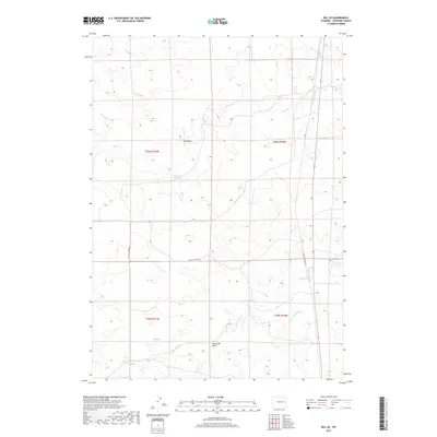
2017 Map of Bill SE
USGS Topo · Published 2017About this map
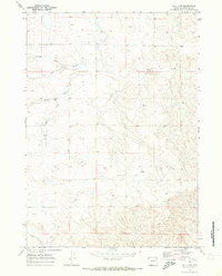
Sundquist Ranch and Clausen Ranch anchor the high plains of Converse County in this 2017 survey, reflecting the enduring ranching economy of eastern Wyoming. The landscape is defined by its drainage systems, where Lightning Cr and Little Lightning Cr flow across the southeastern corner, while Box Cr and the ephemeral Dry Draw traverse the northern sections. A vital water resource, the Fiddleback Reservoir sits at the center of the sheet, providing a focal point for local land management. Transportation is sparse and functional, primarily consisting of the long transit of Highland Loop Rd and the proximity to the settlement at Bill. The map captures a high-desert environment where names like Alexander Draw mark the subtle topographic shifts that dictate life in this rural corridor.
Find a feature on this map
19 named features on this map. Tap any name to fly to it.
Don’t see what you’re looking for? This feature index may not catch every label — zoom into the map to look around manually.
Map Details
Editions of this 2017 Bill SE Map
This is the sole edition of this map. No revisions or reprints were ever made.
Other maps of this area
1949 · Sundquist Ranch
USGS Topo · 1:24,000
1949 · Clausen Ranch
USGS Topo · 1:24,000
1950 · Clausen Ranch
USGS Topo · 1:24,000
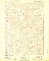
1950 · Sundquist Ranch
USGS Topo · 1:24,000
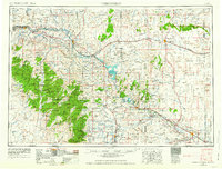
1954 · Torrington
USGS Topo · 1:250,000

1955 · Newcastle
USGS Topo · 1:250,000
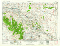
1958 · Torrington
USGS Topo · 1:250,000

1958 · Newcastle
USGS Topo · 1:250,000
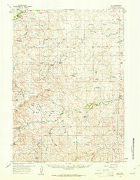
1959 · Bill
USGS Topo · 1:62,500
1970 · Bill 4 NW
USGS Topo · 1:24,000