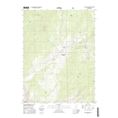
2017 Map of Billies Mountain
USGS Topo · Published 2017About this map
Billies Mountain serves as a prominent landmark in this segment of the Wasatch Range, where the steep drainages of Maple Canyon and Brimhall Canyon define the landscape. Much of the territory falls within the Uinta National Forest, a region characterized by complex topography and a network of historic access routes. Access into these canyons is provided by Diamond Fork Rd and the high-elevation Wanrhodes Creek Rd, which follow the contours of the natural watercourses.
Find a feature on this map
32 named features on this map. Tap any name to fly to it.
Don’t see what you’re looking for? This feature index may not catch every label — zoom into the map to look around manually.
Map Details
Editions of this 2017 Billies Mountain Map
This is the sole edition of this map. No revisions or reprints were ever made.
Other maps of this area
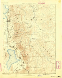
1885 · Salt Lake
USGS Topo · 1:250,000
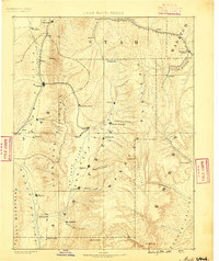
1885 · Manti
USGS Topo · 1:250,000
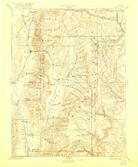
1895 · Manti
USGS Topo · 1:250,000
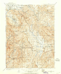
1907 · Strawberry Valley
USGS Topo · 1:125,000
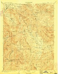
1909 · Strawberry Valley
USGS Topo · 1:125,000
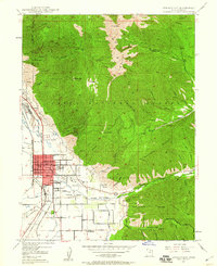
1948 · Springville
USGS Topo · 1:24,000
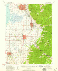
1949 · Provo
USGS Topo · 1:62,500
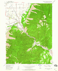
1949 · Spanish Fork Peak
USGS Topo · 1:24,000
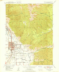
1950 · Springville
USGS Topo · 1:24,000
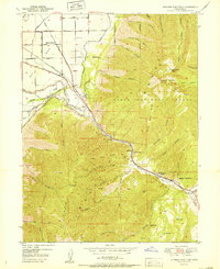
1951 · Spanish Fork Peak
USGS Topo · 1:24,000