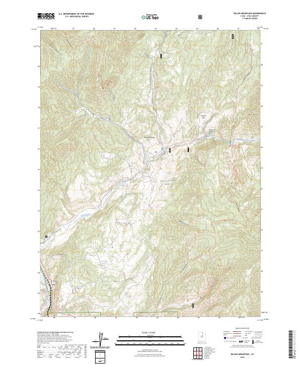
2023 Map of Billies Mountain
USGS Topo · Published 2023About this map
Uinta National Forest dominates this section of the Wasatch Range, where the landscape is defined by the drainage of Diamond Fork and its numerous tributaries. The topography is deeply incised by canyons such as Wanrhodes Canyon, Brimhall Canyon, and Spanish Fork Canyon, creating a complex network of ridges and basins. Water sources are critical in this high-elevation environment, noted by several named springs including Wignal Spring, Seven Oaks Spring, and Harmer Spring.
Find a feature on this map
35 named features on this map. Tap any name to fly to it.
Don’t see what you’re looking for? This feature index may not catch every label — zoom into the map to look around manually.
Map Details
Editions of this 2023 Billies Mountain Map
This is the sole edition of this map. No revisions or reprints were ever made.
Other maps of this area

1885 · Salt Lake
USGS Topo · 1:250,000

1885 · Manti
USGS Topo · 1:250,000

1895 · Manti
USGS Topo · 1:250,000

1907 · Strawberry Valley
USGS Topo · 1:125,000

1909 · Strawberry Valley
USGS Topo · 1:125,000

1948 · Springville
USGS Topo · 1:24,000

1949 · Provo
USGS Topo · 1:62,500

1949 · Spanish Fork Peak
USGS Topo · 1:24,000
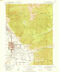
1950 · Springville
USGS Topo · 1:24,000

1951 · Spanish Fork Peak
USGS Topo · 1:24,000