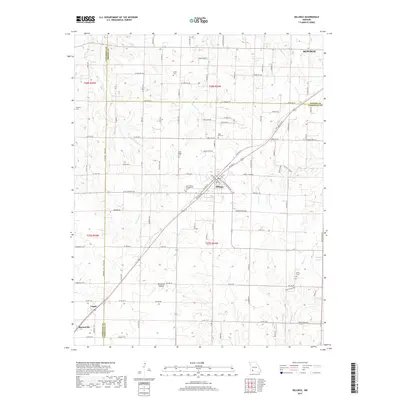
2017 Map of Billings
USGS Topo · Published 2017About this map
Republic anchors the northeastern corner of this Missouri landscape, which sits at the convergence of Lawrence, Greene, and Christian counties. The 2017 survey reveals a deeply rooted agricultural and community structure, evidenced by the numerous cemeteries including Laney Cem, Rose Hill Cem, and Brashers Cem that dot the countryside. These sites, along with the Saint Peters Evangelical Cem and Saint Joseph Cem near the central corridor, serve as primary landmarks for genealogical research and local history.
Find a feature on this map
107 named features on this map. Tap any name to fly to it.
Don’t see what you’re looking for? This feature index may not catch every label — zoom into the map to look around manually.
Map Details
Editions of this 2017 Billings Map
This is the sole edition of this map. No revisions or reprints were ever made.
Other maps of this area

1884 · Springfield
USGS Topo · 1:125,000

1886 · Greenfield
USGS Topo · 1:125,000

1886 · Springfield
USGS Topo · 1:125,000

1888 · Greenfield
USGS Topo · 1:125,000

1907 · Forsyth
USGS Topo · 1:125,000

1919 · Halltown
USGS Topo · 1:62,500

1936 · Brookline
USGS Topo · 1:24,000

1942 · Aurora
USGS Topo · 1:62,500

1945 · Harrison
USGS Topo · 1:250,000

1945 · Aurora
USGS Topo · 1:62,500