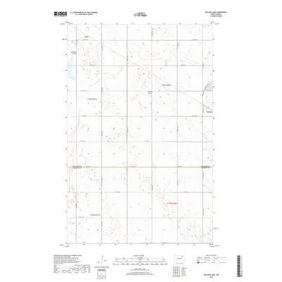
2017 Map of Billings Lake
USGS Topo · Published 2017About this map
Nekoma and Loma anchor this survey of the North Dakota prairie, where the landscape is defined by the organized grid of rural section roads and the natural drainage patterns of the Red River Valley’s western edge. The map captures a transitional geography at the border of Cavalier Co and Ramsey Co, characterized by the presence of Billings Lake and the winding paths of Edmore Coulee and Nekoma Coulee. These coulees represent the subtle but critical topographic relief of the region, vital for managing water across the vast agricultural expanses. The rigid network of numbered avenues and streets, such as 100th Ave NE and 83rd St NE, illustrates the precision of the Public Land Survey System as it persists into the modern era.
Find a feature on this map
26 named features on this map. Tap any name to fly to it.
Don’t see what you’re looking for? This feature index may not catch every label — zoom into the map to look around manually.
Map Details
Editions of this 2017 Billings Lake Map
This is the sole edition of this map. No revisions or reprints were ever made.
Other maps of this area

1953 · Devils Lake
USGS Topo · 1:250,000

1956 · Devils Lake
USGS Topo · 1:250,000

1970 · Loma
USGS Topo · 1:24,000

1970 · Alsen SE
USGS Topo · 1:24,000

1972 · Derrick
USGS Topo · 1:24,000

1972 · Nekoma
USGS Topo · 1:24,000

1972 · Easby
USGS Topo · 1:24,000

1972 · Edmore
USGS Topo · 1:24,000

1972 · Edmore NE
USGS Topo · 1:24,000

1972 · Billings Lake
USGS Topo · 1:24,000