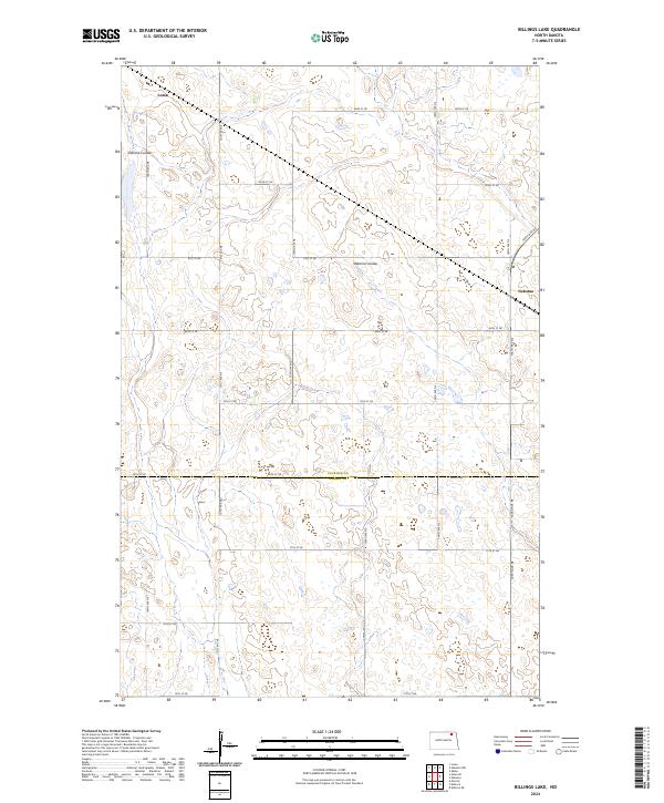
2024 Map of Billings Lake
USGS Topo · Published 2024About this map
Loma and Nekoma anchor this landscape along the border of Cavalier Co and Ramsey Co in northeastern North Dakota. The region is defined by its glacial prairie potholes and the drainage patterns of Edmore Coulee and Nekoma Coulee, which snake through the section-line road grid. Conservation efforts are visible in the northern reaches of the map, particularly within the Cavalier County Waterfowl Production Area, also identified as the Cavalier County WPA. This network of wetlands and small water bodies reflects the agricultural and environmental priorities of the contemporary plains. The systematic layout of rural routes, including 81st St NE and 105th Ave NE, provides a clear view of the modern land divisions that have persisted since the original homesteading era.
Find a feature on this map
27 named features on this map. Tap any name to fly to it.
Don’t see what you’re looking for? This feature index may not catch every label — zoom into the map to look around manually.
Map Details
Editions of this 2024 Billings Lake Map
This is the sole edition of this map. No revisions or reprints were ever made.
Other maps of this area

1953 · Devils Lake
USGS Topo · 1:250,000

1956 · Devils Lake
USGS Topo · 1:250,000

1970 · Loma
USGS Topo · 1:24,000

1970 · Alsen SE
USGS Topo · 1:24,000

1972 · Derrick
USGS Topo · 1:24,000

1972 · Nekoma
USGS Topo · 1:24,000

1972 · Easby
USGS Topo · 1:24,000

1972 · Edmore
USGS Topo · 1:24,000

1972 · Edmore NE
USGS Topo · 1:24,000

1972 · Billings Lake
USGS Topo · 1:24,000