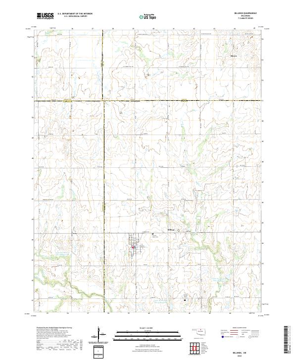
2022 Map of Billings
USGS Topo · Published 2022About this map
Billings serves as the primary municipal center in this section of north-central Oklahoma, situated at the intersection of several regional routes. The map illustrates a grid of agricultural section lines that organize the landscape of Noble, Kay, Garfield, and Grant counties. Outside the town center, the small settlement of Alcorn is located in the northeastern quadrant. The area's geography is defined by the winding paths of several small waterways that cut through the flat plains, creating a distinct drainage pattern amidst the surrounding farmland. Researchers will find a highly structured rural environment where the placement of farmsteads and rural roads follows the strict Public Land Survey System, reflecting the late 19th-century land distribution history of the Cherokee Outlet.
Find a feature on this map
2 named features on this map. Tap any name to fly to it.
Don’t see what you’re looking for? This feature index may not catch every label — zoom into the map to look around manually.
Map Details
Editions of this 2022 Billings Map
This is the sole edition of this map. No revisions or reprints were ever made.
Other maps of this area

1955 · Enid
USGS Topo · 1:250,000

1956 · Garber
USGS Topo · 1:62,500

1958 · Enid
USGS Topo · 1:250,000

1968 · Lamont SE
USGS Topo · 1:24,000

1968 · Billings
USGS Topo · 1:24,000

1968 · Tonkawa SE
USGS Topo · 1:24,000

1968 · Eddy
USGS Topo · 1:24,000

1968 · Tonkawa
USGS Topo · 1:24,000

1968 · Lamont
USGS Topo · 1:24,000

1972 · Perry NW
USGS Topo · 1:24,000