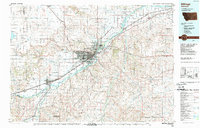
1954 Map of Billings
USGS Topo · Published 1976About this map
The Yellowstone River corridor serves as the primary artery of development on this mid-century survey, anchoring the regional hub of Billings and several satellite rail towns. The landscape transitions sharply from the agricultural flats along U S Highway 10 to the high alpine reaches of the Beartooth Mountains and Custer National Forest in the southwest. Transport and industry are closely linked, with the Northern Pacific RR, Great Northern RR, and Burlington Route providing essential connections for the sugar beet farms and emerging Oil and Gas Fields near Red Lodge and Elk Basin.
Find a feature on this map
161 named features on this map. Tap any name to fly to it.
Don’t see what you’re looking for? This feature index may not catch every label — zoom into the map to look around manually.
Map Details
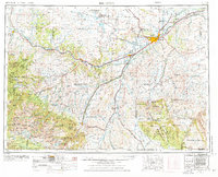
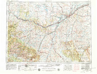
Editions of this 1954 Billings Map
4 editions found

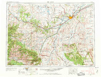
Historical Maps of Billings Through Time
4 maps found