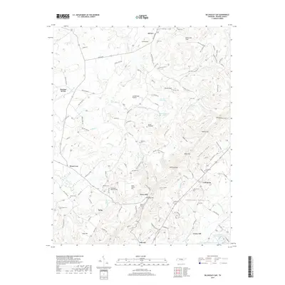
2019 Map of Billingsley Gap
USGS Topo · Published 2019About this map
Pikeville anchors the southern portion of this 2019 survey, where the valley floor transitions into the elevated terrain of the Cumberland Plateau. The landscape is defined by the winding course of the Sequatchie River and the significant geological boundary of the Tennessee Valley Divide. This map documents a high concentration of family and community burial sites, including the Iron Hill Cem, Knight Cem, and Pendergrass Cem, providing a detailed record of local genealogy and settlement patterns.
Find a feature on this map
141 named features on this map. Tap any name to fly to it.
Don’t see what you’re looking for? This feature index may not catch every label — zoom into the map to look around manually.
Map Details
Editions of this 2019 Billingsley Gap Map
This is the sole edition of this map. No revisions or reprints were ever made.
Other maps of this area

1892 · Pikeville
USGS Topo · 1:125,000

1895 · Pikeville
USGS Topo · 1:125,000

1909 · Sequatchie Valley
USGS Topo · 1:62,500

1910 · Pikeville
USGS Topo · 1:62,500

1912 · Crossville
USGS Topo · 1:62,500

1935 · Melvine
USGS Topo · 1:24,000

1935 · Morgan Springs
USGS Topo · 1:24,000

1935 · Brockdell
USGS Topo · 1:24,000

1935 · Billingsley Gap
USGS Topo · 1:24,000
1935 · Vandever
USGS Topo · 1:24,000