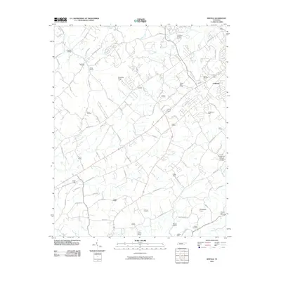
2010 Map of Binfield
USGS Topo · Published 2010About this map
Fairview and Needmore Hill stand out as primary hubs in this part of Blount County, where a network of ridge-and-hollow roads connects established rural communities. The landscape is defined by its numerous small burial grounds and family landmarks, including Bakers Creek Cemetery, Salem Cemetery, and Carpenter Campground Cemetery. These sites are often found near prominent terrain features like Clover Hill Ridge and Spradling Ridge, which influenced the placement of early homesteads and travel routes.
Find a feature on this map
96 named features on this map. Tap any name to fly to it.
Don’t see what you’re looking for? This feature index may not catch every label — zoom into the map to look around manually.
Map Details
Editions of this 2010 Binfield Map
This is the sole edition of this map. No revisions or reprints were ever made.
Other maps of this area

1886 · Knoxville
USGS Topo · 1:125,000

1892 · Knoxville
USGS Topo · 1:125,000

1894 · Knoxville
USGS Topo · 1:125,000

1895 · Loudon
USGS Topo · 1:125,000

1895 · Knoxville
USGS Topo · 1:125,000

1901 · Knoxville
USGS Topo · 1:125,000

1935 · Binfield
USGS Topo · 1:24,000

1935 · Knoxville
USGS Topo · 1:48,000

1935 · Meadow
USGS Topo · 1:24,000

1935 · Maryville
USGS Topo · 1:24,000