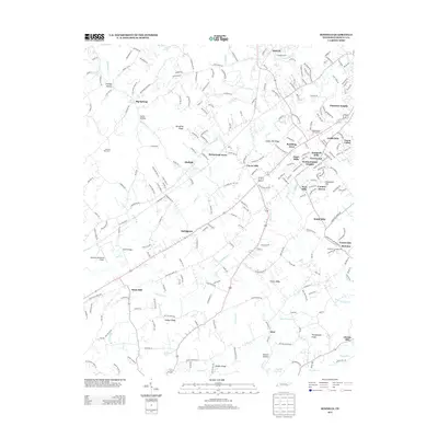
2013 Map of Binfield
USGS Topo · Published 2013About this map
Brick Mill and the surrounding Blount County landscape appear in this 2013 survey, illustrating a region defined by its complex network of creeks and small residential developments. The area is intersected by watercourses like Baker Cr and Ninemile Cr, which historically shaped the placement of rural centers. While modern neighborhoods such as Rambling Acres and Westmoreland Heights show contemporary growth, older landmarks like Henry Bridge and Reagan Bridge anchor the map in its traditional geography. Of particular note for local researchers is the Carpenter Campground and the small airfield at McGraw's Backyard Airport. The terrain transitions from the heights of Spradling Ridge to the lower reaches of Mutton Hollow, providing a clear look at the diverse topography west of Maryville.
Find a feature on this map
241 named features on this map. Tap any name to fly to it.
Don’t see what you’re looking for? This feature index may not catch every label — zoom into the map to look around manually.
Map Details
Editions of this 2013 Binfield Map
This is the sole edition of this map. No revisions or reprints were ever made.
Other maps of this area

1886 · Knoxville
USGS Topo · 1:125,000

1892 · Knoxville
USGS Topo · 1:125,000

1894 · Knoxville
USGS Topo · 1:125,000

1895 · Loudon
USGS Topo · 1:125,000

1895 · Knoxville
USGS Topo · 1:125,000

1901 · Knoxville
USGS Topo · 1:125,000

1935 · Binfield
USGS Topo · 1:24,000

1935 · Knoxville
USGS Topo · 1:48,000

1935 · Meadow
USGS Topo · 1:24,000

1935 · Maryville
USGS Topo · 1:24,000