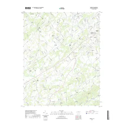
2019 Map of Binfield
USGS Topo · Published 2019About this map
Brick Mill and the surrounding rural landscapes of Blount County define this area southwest of Maryville. The map captures a high density of ancestral burial grounds, including the Bakers Creek Cem, Carpenter Campground Cem, and the Laurel Bank Cem near Alnwick. The terrain transitions from the ridges and hollows like Clover Hill Ridge and Crumley Hollow toward the rising slopes of Chilhowee Mtn in the southeast. Numerous small waterways, including Gallaher Cr and Ninemile Cr, carve through the valley, supporting a network of early settlements such as Binfield, Mint, and Big Springs. Transportation patterns are anchored by historic crossings like Henry Bridge and Reagan Bridge, alongside the small-scale aviation at McGraw's Backyard Airport.
Find a feature on this map
172 named features on this map. Tap any name to fly to it.
Don’t see what you’re looking for? This feature index may not catch every label — zoom into the map to look around manually.
Map Details
Editions of this 2019 Binfield Map
This is the sole edition of this map. No revisions or reprints were ever made.
Other maps of this area

1886 · Knoxville
USGS Topo · 1:125,000

1892 · Knoxville
USGS Topo · 1:125,000

1894 · Knoxville
USGS Topo · 1:125,000

1895 · Loudon
USGS Topo · 1:125,000

1895 · Knoxville
USGS Topo · 1:125,000

1901 · Knoxville
USGS Topo · 1:125,000

1935 · Binfield
USGS Topo · 1:24,000

1935 · Knoxville
USGS Topo · 1:48,000

1935 · Meadow
USGS Topo · 1:24,000

1935 · Maryville
USGS Topo · 1:24,000