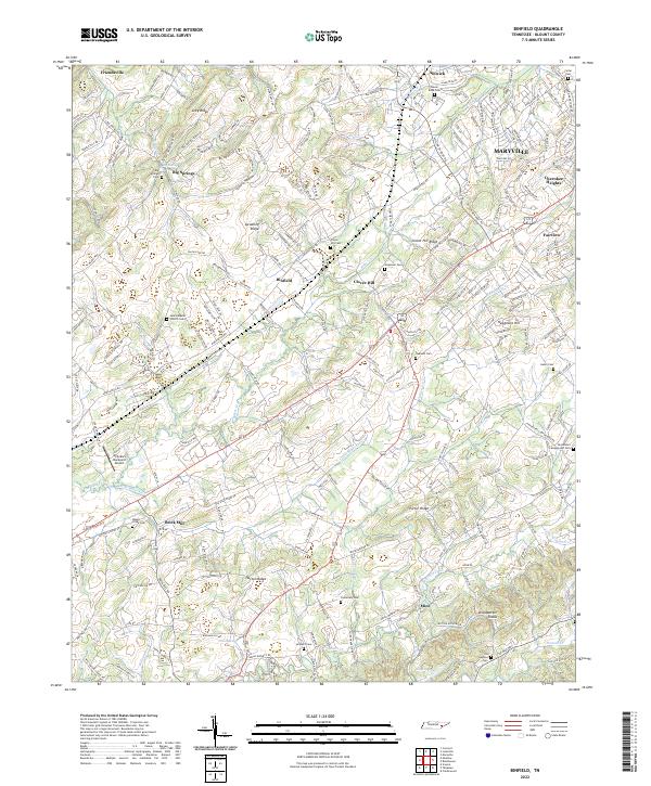
2022 Map of Binfield
USGS Topo · Published 2022About this map
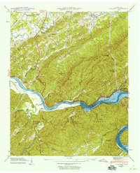
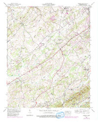
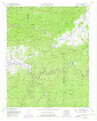
The community of Binfield sits at the heart of this Blount County landscape, surrounded by a complex network of ridges and small rural settlements. The terrain is defined by prominent elevations such as Hutton Ridge, Spradling Ridge, and Grey Ridge, which channel numerous watercourses including Little Baker Cr and Ninemile Cr. For genealogists, the map is particularly rich in cemetery data, pinpointing several established burial grounds like Salem Baptist Church Cem, Carpenters Campground Cem, and Oakland Cem.
Find a feature on this map
211 named features on this map. Tap any name to fly to it.
Don’t see what you’re looking for? This feature index may not catch every label — zoom into the map to look around manually.
Map Details
Editions of this 2022 Binfield Map
This is the sole edition of this map. No revisions or reprints were ever made.
Historical Maps of Kenmark Hills Through Time
32 maps found

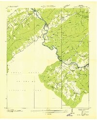
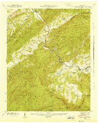
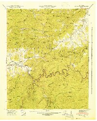
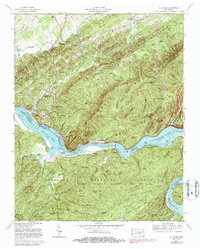
1935 Binfield
Blount County, TN

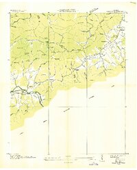
1935 Blockhouse
Blount County, TN

1935 Calderwood
Blount County, TN

1935 Tallassee
Blount County, TN
1936 Kinzel Springs
Blount County, TN
1936 Wear Cove
Blount County, TN
1941 Binfield
Blount County, TN
1941 Kinzel Springs
Blount County, TN
1941 Tallassee
Blount County, TN
1942 Blockhouse
Blount County, TN
1942 Tallassee
Blount County, TN
1942 Wear Cove
Blount County, TN
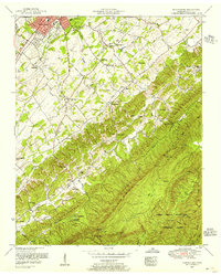
1952 Binfield
Blount County, TN
1953 Blockhouse
Blount County, TN
1953 Kinzel Springs
Blount County, TN
1953 Wear Cove
Blount County, TN
1964 Cades Cove
Blount County, TN
1964 Calderwood
Blount County, TN
1966 Blockhouse
Blount County, TN
1966 Tallassee
Blount County, TN

2000 Cades Cove
Blount County, TN

2000 Calderwood
Blount County, TN

2000 Thunderhead Mtn
Blount County, TN

2003 Calderwood
Blount County, TN
2003 Tallassee
Blount County, TN
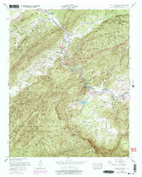
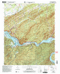
2022 Binfield
Blount County, TN
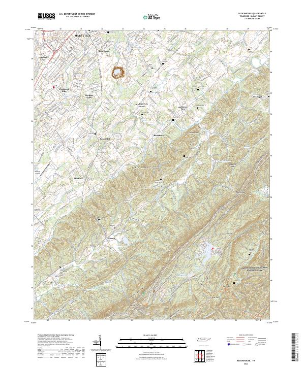
2022 Blockhouse
Blount County, TN
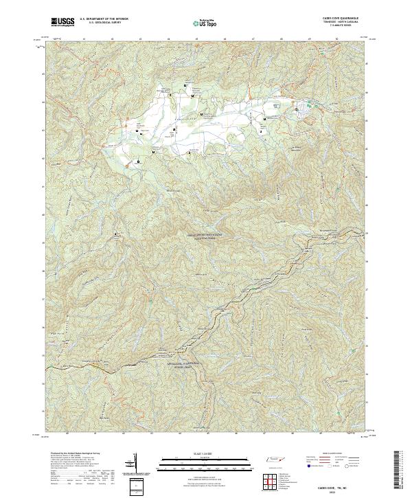
2022 Cades Cove
Blount County, TN
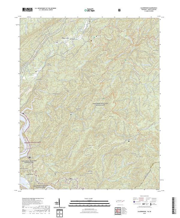
2022 Calderwood
Blount County, TN
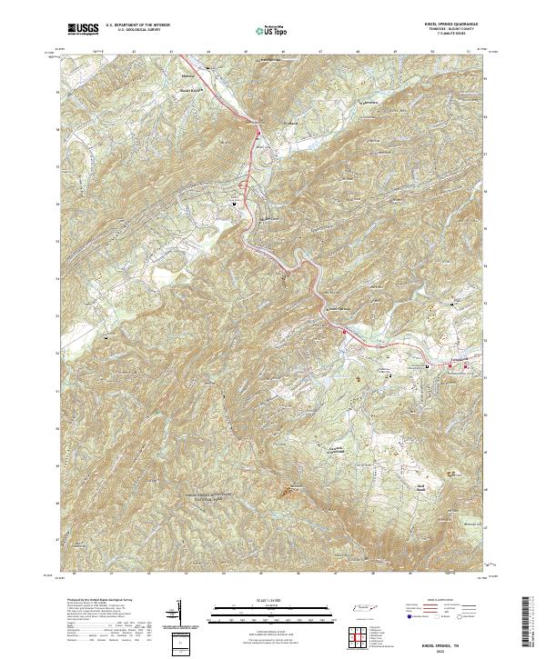
2022 Kinzel Springs
Blount County, TN
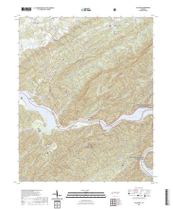
2022 Tallassee
Blount County, TN
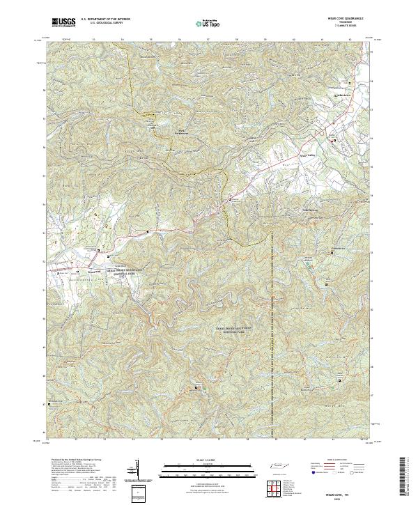
2022 Wear Cove
Blount County, TN