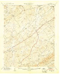
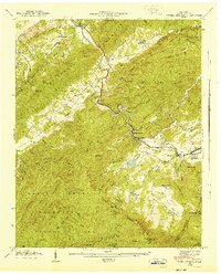
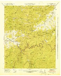
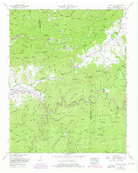
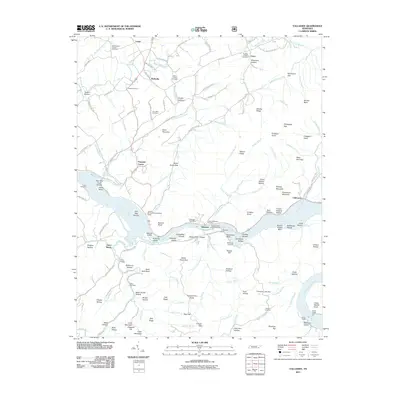
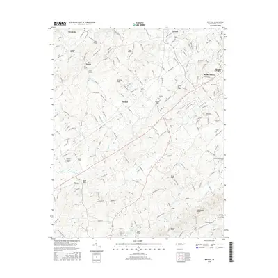
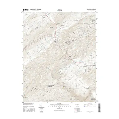
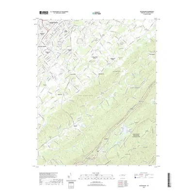
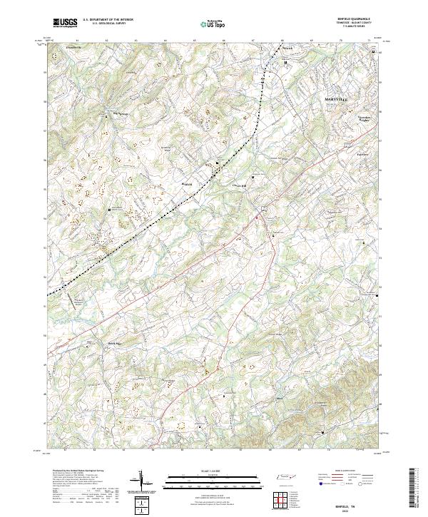
1941 Map of Binfield
USGS Topo · Published 1941About this map
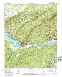
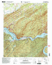
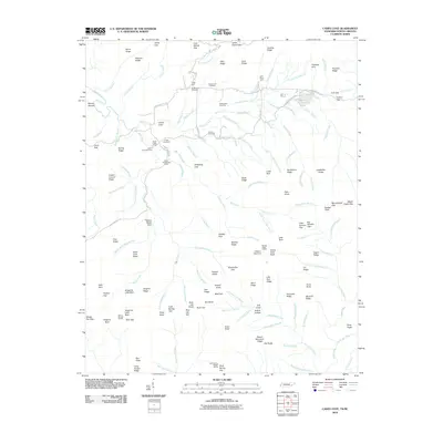
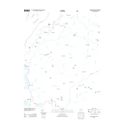
Brick Mill and the surrounding Blount County countryside appear here just before the mid-century, defined by a dense network of rural churches and schoolhouses. The landscape is segmented by prominent ridges such as Spradling Ridge and Curtis Ridge, with the Louisville and Nashville railroad cutting a diagonal path through the settlement at Binfield. This area shows a community deeply rooted in its local institutions, from the CCC Camp No. 47 and the County Farm near Alnwick to the numerous small congregations at Salem Ch, Hopewell Ch, and Centenary Ch. Genealogists will find significant value in the documentation of family-linked landmarks and burial sites, including the Seceder Cem and Hamil Cem. The transition from the lowland waters of Baker Creek to the prominent elevations of the Woodpecker Knobs illustrates the varied terrain of this Tennessee Valley Authority survey.
Find a feature on this map
48 named features on this map. Tap any name to fly to it.
Don’t see what you’re looking for? This feature index may not catch every label — zoom into the map to look around manually.
Map Details
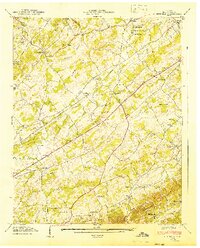
Editions of this 1941 Binfield Map
2 editions found
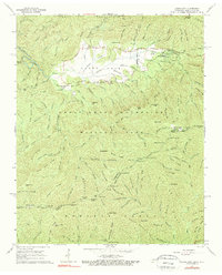
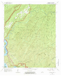
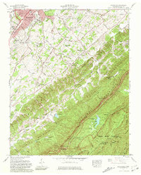
Historical Maps of Maryville Through Time
60 maps found

1935 Binfield
Blount County, TN

1935 Blockhouse
Blount County, TN

1935 Calderwood
Blount County, TN

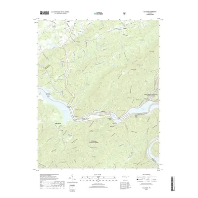
1935 Tallassee
Blount County, TN
1936 Kinzel Springs
Blount County, TN
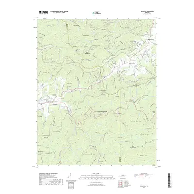
1936 Wear Cove
Blount County, TN
1941 Binfield
Blount County, TN
1941 Kinzel Springs
Blount County, TN
1941 Tallassee
Blount County, TN
1942 Blockhouse
Blount County, TN
1942 Tallassee
Blount County, TN
1942 Wear Cove
Blount County, TN
1952 Binfield
Blount County, TN
1953 Blockhouse
Blount County, TN
1953 Kinzel Springs
Blount County, TN
1953 Wear Cove
Blount County, TN
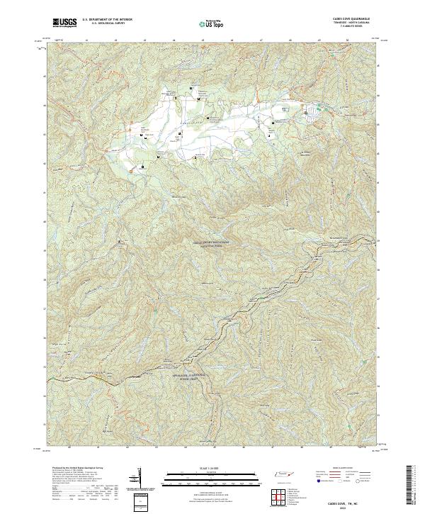
1964 Cades Cove
Blount County, TN
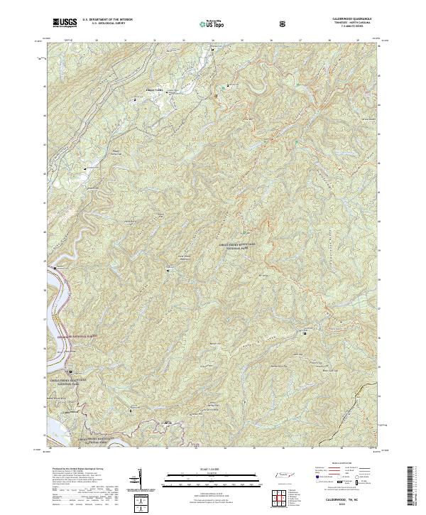
1964 Calderwood
Blount County, TN
1966 Blockhouse
Blount County, TN
1966 Tallassee
Blount County, TN

2000 Cades Cove
Blount County, TN

2000 Calderwood
Blount County, TN

2000 Thunderhead Mtn
Blount County, TN

2003 Calderwood
Blount County, TN
2003 Tallassee
Blount County, TN
2010 Binfield
Blount County, TN
2010 Blockhouse
Blount County, TN
2010 Cades Cove
Blount County, TN
2010 Kinzel Springs
Blount County, TN
2010 Wear Cove
Blount County, TN
2011 Calderwood
Blount County, TN
2011 Tallassee
Blount County, TN
2013 Binfield
Blount County, TN
2013 Blockhouse
Blount County, TN
2013 Cades Cove
Blount County, TN
2013 Calderwood
Blount County, TN
2013 Kinzel Springs
Blount County, TN
2013 Tallassee
Blount County, TN
2013 Wear Cove
Blount County, TN
2016 Binfield
Blount County, TN
2016 Blockhouse
Blount County, TN
2016 Cades Cove
Blount County, TN
2016 Calderwood
Blount County, TN
2016 Kinzel Springs
Blount County, TN
2016 Tallassee
Blount County, TN
2016 Wear Cove
Blount County, TN
2019 Binfield
Blount County, TN
2019 Blockhouse
Blount County, TN
2019 Cades Cove
Blount County, TN
2019 Calderwood
Blount County, TN
2019 Kinzel Springs
Blount County, TN
2019 Tallassee
Blount County, TN
2019 Wear Cove
Blount County, TN
2022 Binfield
Blount County, TN
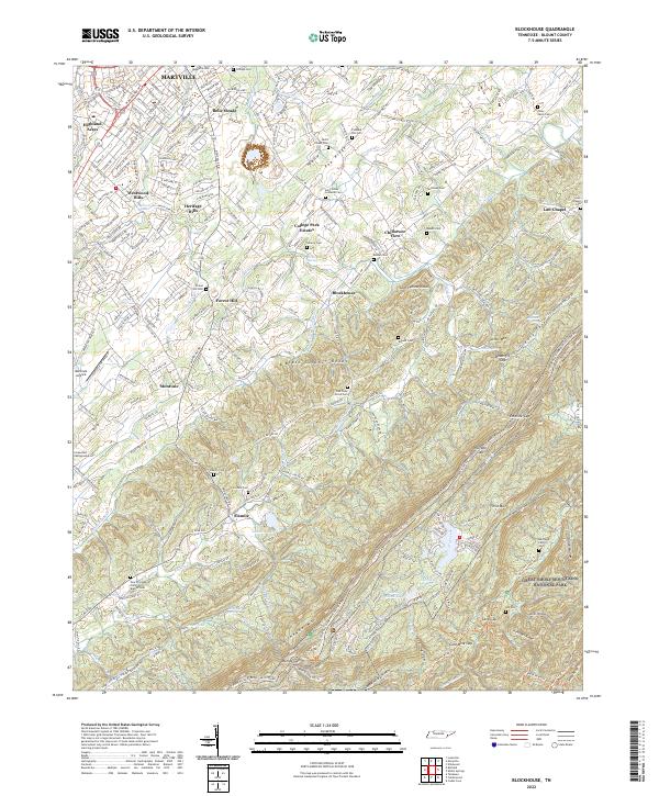
2022 Blockhouse
Blount County, TN
2022 Cades Cove
Blount County, TN
2022 Calderwood
Blount County, TN
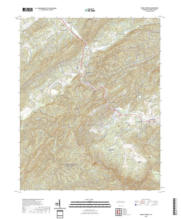
2022 Kinzel Springs
Blount County, TN
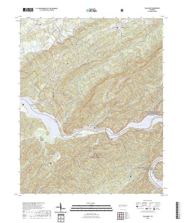
2022 Tallassee
Blount County, TN
2022 Wear Cove
Blount County, TN