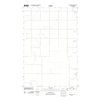
2011 Map of Binford NW
USGS Topo · Published 2011About this map
Red Willow Lake and several other small basins define this prairie landscape in Nelson County, where a rigid grid of section roads structures the rural terrain. The distribution of water bodies like Mannie Lake and Basswood Lake suggests the glacial depressions typical of the region, creating a fragmented hydrography among the agricultural plots. The infrastructure is dominated by numbered section lines, with County Rd-25 and County Rd-5 serving as primary north-south conduits. At the northern edge, Ottofy Lake sits just below the boundary line, while Hoot-E-Too Lake occupies the southwest corner, illustrating the scattered nature of these local landmarks in an area focused on large-scale land management and rural connectivity.
Find a feature on this map
22 named features on this map. Tap any name to fly to it.
Don’t see what you’re looking for? This feature index may not catch every label — zoom into the map to look around manually.
Map Details
Editions of this 2011 Binford NW Map
This is the sole edition of this map. No revisions or reprints were ever made.
Other maps of this area

1930 · Pekin
USGS Topo · 1:62,500

1930 · Hamar
USGS Topo · 1:62,500

1951 · Tolna
USGS Topo · 1:24,000

1951 · Pekin
USGS Topo · 1:24,000

1951 · Pekin
USGS Topo · 1:62,500

1952 · New Rockford
USGS Topo · 1:250,000

1956 · New Rockford
USGS Topo · 1:250,000

1961 · McHenry
USGS Topo · 1:24,000

1961 · Binford
USGS Topo · 1:24,000

1961 · Johnson Lake
USGS Topo · 1:24,000