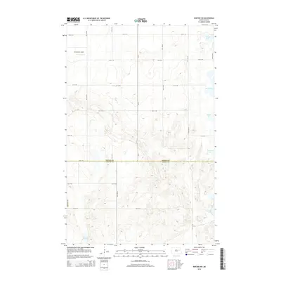
2014 Map of Binford NW
USGS Topo · Published 2014About this map
Glacial geology and rural infrastructure define this landscape along the border of Nelson and Griggs counties. The terrain is characterized by numerous prairie potholes and wetlands, including Otlofy Lake in the northeast and the elongated Mannie Lake nearby. A structured grid of gravel section roads, such as 98th Ave NE and 18th St NE, connects the scattered farmsteads of this agricultural region. The Breckheimer Airport serves as a lone aviation landmark in the northwest corner of the survey, while Red Willow Lake and Basswood Lake mark the eastern edge of the quadrangle. This map captures a snapshot of contemporary Great Plains land use where the elevation contours reveal the subtle, undulating topography of the drift prairie.
Find a feature on this map
23 named features on this map. Tap any name to fly to it.
Don’t see what you’re looking for? This feature index may not catch every label — zoom into the map to look around manually.
Map Details
Editions of this 2014 Binford NW Map
This is the sole edition of this map. No revisions or reprints were ever made.
Other maps of this area
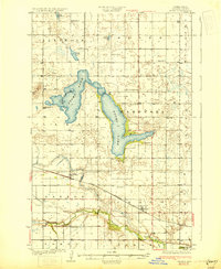
1930 · Pekin
USGS Topo · 1:62,500
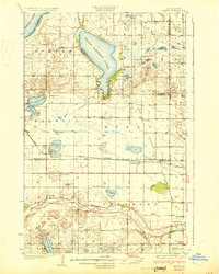
1930 · Hamar
USGS Topo · 1:62,500
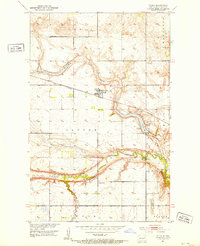
1951 · Tolna
USGS Topo · 1:24,000
1951 · Pekin
USGS Topo · 1:24,000
1951 · Pekin
USGS Topo · 1:62,500
1952 · New Rockford
USGS Topo · 1:250,000
1956 · New Rockford
USGS Topo · 1:250,000
1961 · McHenry
USGS Topo · 1:24,000
1961 · Binford
USGS Topo · 1:24,000
1961 · Johnson Lake
USGS Topo · 1:24,000