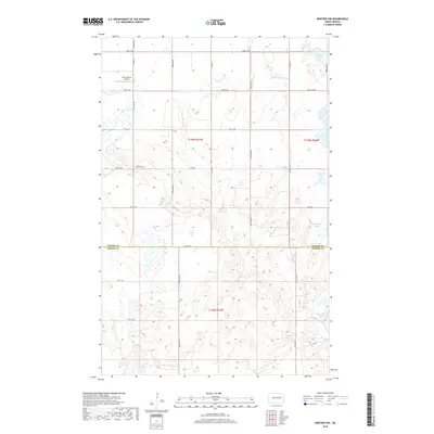
2018 Map of Binford NW
USGS Topo · Published 2018About this map
Breckheimer Airport sits in the northern reaches of this rural landscape, serving as a distinct landmark amidst the systematic grid of section lines and county roads. The terrain is defined by a dense concentration of glacial potholes and small water bodies, with larger named features like Ottofy Lake and Mannie Lake appearing in the northeast. Spanning the border of Nelson Co and Griggs Co, the map reveals a highly structured agricultural environment where life follows the straight paths of Co Rd 25 and 18th St NE. To the southeast, Red Willow Lake anchors a cluster of wetlands, providing a glimpse into the hydrography of this high-plains region. The presence of Hoot-E-Too Lake in the southwest corner further illustrates the intricate wetland patterns that shaped local land use and boundary decisions.
Find a feature on this map
23 named features on this map. Tap any name to fly to it.
Don’t see what you’re looking for? This feature index may not catch every label — zoom into the map to look around manually.
Map Details
Editions of this 2018 Binford NW Map
This is the sole edition of this map. No revisions or reprints were ever made.
Other maps of this area
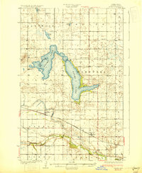
1930 · Pekin
USGS Topo · 1:62,500
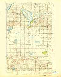
1930 · Hamar
USGS Topo · 1:62,500
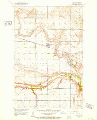
1951 · Tolna
USGS Topo · 1:24,000
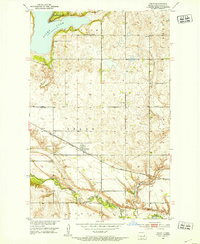
1951 · Pekin
USGS Topo · 1:24,000
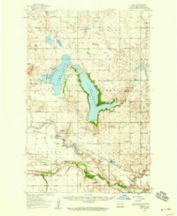
1951 · Pekin
USGS Topo · 1:62,500
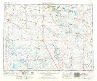
1952 · New Rockford
USGS Topo · 1:250,000
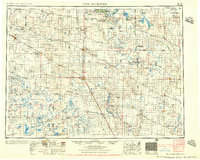
1956 · New Rockford
USGS Topo · 1:250,000
1961 · McHenry
USGS Topo · 1:24,000
1961 · Binford
USGS Topo · 1:24,000
1961 · Johnson Lake
USGS Topo · 1:24,000