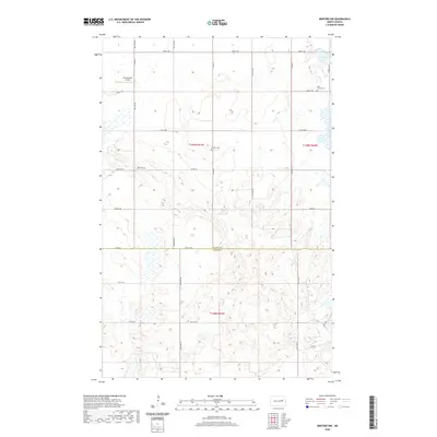
2020 Map of Binford NW
USGS Topo · Published 2020About this map
Nelson County and Griggs County meet along an East-West boundary line in this portion of the North Dakota prairie. The landscape is characterized by the irregular glacial topography of the Devils Lake Basin, where numerous small wetlands and depressions punctuate the section-line road grid. Historical markers of the rural community are preserved in the locations of Saint Johns Cem and Bergen Cem, which serve as quiet anchors for the surrounding farmsteads. Transportation and local utility are represented by the presence of Breckheimer Airport in the northwest, while the waters of Ottofy Lake occupy the northeastern corner. The map traces a network of township roads including Co Rd 25 and Co Rd 23, illustrating the persistent and organized settlement pattern of the High Plains.
Find a feature on this map
25 named features on this map. Tap any name to fly to it.
Don’t see what you’re looking for? This feature index may not catch every label — zoom into the map to look around manually.
Map Details
Editions of this 2020 Binford NW Map
This is the sole edition of this map. No revisions or reprints were ever made.
Other maps of this area

1930 · Pekin
USGS Topo · 1:62,500

1930 · Hamar
USGS Topo · 1:62,500

1951 · Tolna
USGS Topo · 1:24,000

1951 · Pekin
USGS Topo · 1:24,000

1951 · Pekin
USGS Topo · 1:62,500

1952 · New Rockford
USGS Topo · 1:250,000

1956 · New Rockford
USGS Topo · 1:250,000

1961 · McHenry
USGS Topo · 1:24,000

1961 · Binford
USGS Topo · 1:24,000

1961 · Johnson Lake
USGS Topo · 1:24,000