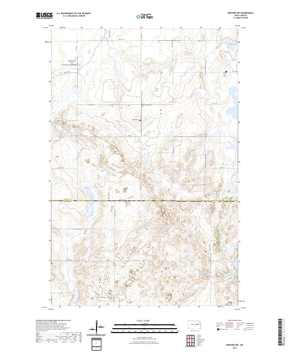
2024 Map of Binford NW
USGS Topo · Published 2024About this map
Glacial prairie potholes and conservation lands define this landscape along the border of Nelson Co Griggs Co. The map captures a high-resolution view of the managed wetlands within the Nelson County Waterfowl Production Area, a vital habitat for migratory birds in the northern plains. For those tracing local history, several small landmarks persist in the rural sections, including Saint Johns Cem near the northeastern edge and Bergen Cem situated centrally. Transportation is primarily confined to a structured grid of township roads such as 22nd St NE and Co Rd 25, which navigate around the numerous seasonal sloughs and Ottofy Lake. The inclusion of the Breckheimer Airport highlights the continued reliance on small-scale aviation for agricultural and private use in this sparsely populated stretch of the Red River Valley hinterland.
Find a feature on this map
23 named features on this map. Tap any name to fly to it.
Don’t see what you’re looking for? This feature index may not catch every label — zoom into the map to look around manually.
Map Details
Editions of this 2024 Binford NW Map
This is the sole edition of this map. No revisions or reprints were ever made.
Other maps of this area

1930 · Pekin
USGS Topo · 1:62,500

1930 · Hamar
USGS Topo · 1:62,500

1951 · Tolna
USGS Topo · 1:24,000

1951 · Pekin
USGS Topo · 1:24,000

1951 · Pekin
USGS Topo · 1:62,500

1952 · New Rockford
USGS Topo · 1:250,000

1956 · New Rockford
USGS Topo · 1:250,000

1961 · McHenry
USGS Topo · 1:24,000

1961 · Binford
USGS Topo · 1:24,000

1961 · Johnson Lake
USGS Topo · 1:24,000