
1952 Map of Bingham Canyon
USGS Topo · Published 1954About this map
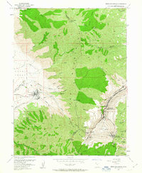
The Oquirrh Mountains divide this landscape between the industrial corridors of the Tooele Valley and the massive excavations of the Copper Pit in the early 1950s. Near the center of the range, the town of Bingham—complete with its Bingham Canyon P O and Central Sch—stands at the threshold of the mine's expanding Waste Dump areas. To the south and west, the mountain peaks like Nelson Peak and Clipper Peak rise sharply above the mining operations.
Find a feature on this map
56 named features on this map. Tap any name to fly to it.
Don’t see what you’re looking for? This feature index may not catch every label — zoom into the map to look around manually.
Map Details
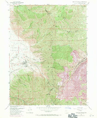
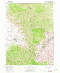
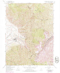
Editions of this 1952 Bingham Canyon Map
5 editions found
Other maps of this area

1885 · Tooele Valley
USGS Topo · 1:250,000

1915 · Fairfield
USGS Topo · 1:62,500

1917 · Fairfield
USGS Topo · 1:62,500

1918 · Stockton
USGS Topo · 1:62,500

1952 · Magna
USGS Topo · 1:24,000
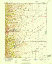
1952 · Lark
USGS Topo · 1:24,000

1952 · Garfield
USGS Topo · 1:24,000

1953 · Tooele
USGS Topo · 1:250,000
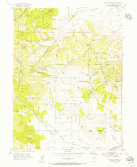
1954 · Tickville Spring
USGS Topo · 1:24,000

1955 · Mills Junction
USGS Topo · 1:24,000