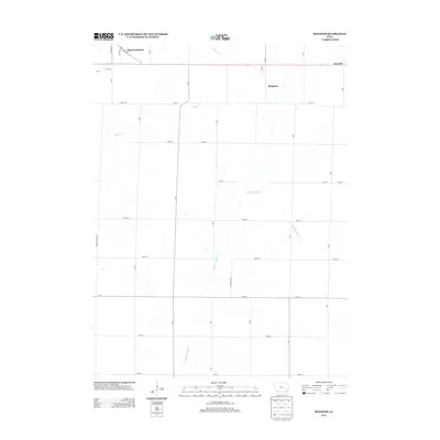
2013 Map of Bingham
USGS Topo · Published 2013About this map
Shenandoah anchors the northwestern corner of this agricultural landscape in Page County, where the city's residential streets like Keith Dr and S Center St transition into the section-line roads of the Iowa countryside. The terrain is defined by a series of parallel watercourses including Fourmile Cr, Fisher Cr, and Middle Tarkio Cr, which drain the undulating farmland south of the Norwich and Bingham settlements. These smaller communities are situated along the primary east-west corridor of 211th St, illustrating a settlement pattern typical of the region's rural development. The presence of Fremont-Page Ave on the western edge marks the political boundary between counties, while arterial routes like Co Hwy J40 and Anna Crose Hwy facilitate movement through this productive prairie landscape during the early 20th century.
Find a feature on this map
34 named features on this map. Tap any name to fly to it.
Don’t see what you’re looking for? This feature index may not catch every label — zoom into the map to look around manually.
Map Details
Editions of this 2013 Bingham Map
This is the sole edition of this map. No revisions or reprints were ever made.
Other maps of this area
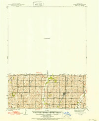
1939 · Farragut
USGS Topo · 1:62,500
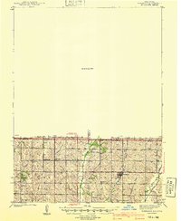
1940 · Farragut
USGS Topo · 1:62,500
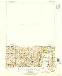
1940 · Coin
USGS Topo · 1:62,500
1943 · Coin
USGS Topo · 1:62,500
1955 · Nebraska City
USGS Topo · 1:250,000
1957 · Nebraska City
USGS Topo · 1:250,000
1958 · Nebraska City
USGS Topo · 1:250,000
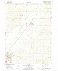
1978 · Shenandoah East
USGS Topo · 1:24,000
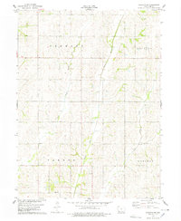
1978 · Stanton SW
USGS Topo · 1:24,000
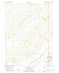
1978 · Shenandoah West
USGS Topo · 1:24,000