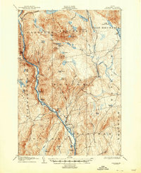
1905 Map of Bingham
USGS Topo · Published 1947About this map
Bingham serves as the focal point of this Somerset County landscape, situated where the Maine Central railroad meets the southern flow of the Kennebec River. The terrain is defined by its complex network of water bodies and prominent ridges, including the sprawling Bald Mountain and the distinct Carrying Place terrain to the west. This 1903 survey records a rugged interior where smaller settlements like Caratunk and various remote Camp sites connect via trails and mountain passes.
Find a feature on this map
77 named features on this map. Tap any name to fly to it.
Don’t see what you’re looking for? This feature index may not catch every label — zoom into the map to look around manually.
Map Details
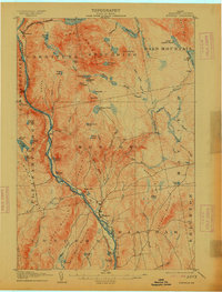
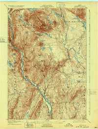
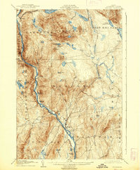
Editions of this 1905 Bingham Map
5 editions found
Other maps of this area

1903 · Bingham
USGS Topo · 1:62,500

1904 · Anson
USGS Topo · 1:62,500

1905 · Bingham
USGS Topo · 1:62,500

1905 · The Forks
USGS Topo · 1:62,500

1907 · The Forks
USGS Topo · 1:62,500

1913 · Skowhegan
USGS Topo · 1:62,500

1925 · Pierce Pond
USGS Topo · 1:48,000

1927 · Pierce Pond
USGS Topo · 1:62,500

1928 · Dead River
USGS Topo · 1:62,500

1930 · Kingfield
USGS Topo · 1:48,000