
1905 Map of Bingham
USGS Topo · Published 1905About this map
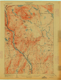
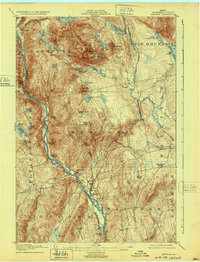
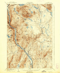
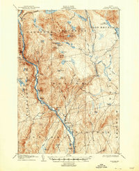
The Kennebec River corridor defines the western edge of this Somerset County landscape, serving as the primary axis for movement and early industry just after the turn of the century. The settlement at Bingham occupies a strategic bend in the river, while further north, the village of Carritunk marks the entryway to a high, pond-studded interior. The terrain is characterized by prominent peaks like Bald Mountain and Baker Mtn, which overlook a complex network of waterways including Austin Stream and Heald Stream. Notable for local history is the presence of the Carrying Place, a historical portage route that underscores the region's reliance on river navigation before the widespread expansion of mountain roads. Family names are etched into the geography through features such as Tibbetts Pond, Merrill Pond, and Johnson Mountain, reflecting the early landholders and settlers of the central Maine wilderness.
Find a feature on this map
77 named features on this map. Tap any name to fly to it.
Don’t see what you’re looking for? This feature index may not catch every label — zoom into the map to look around manually.
Map Details
Editions of this 1905 Bingham Map
5 editions found
Other maps of this area

1903 · Bingham
USGS Topo · 1:62,500

1904 · Anson
USGS Topo · 1:62,500

1905 · The Forks
USGS Topo · 1:62,500

1907 · The Forks
USGS Topo · 1:62,500

1913 · Skowhegan
USGS Topo · 1:62,500

1925 · Pierce Pond
USGS Topo · 1:48,000

1927 · Pierce Pond
USGS Topo · 1:62,500

1928 · Dead River
USGS Topo · 1:62,500

1930 · Kingfield
USGS Topo · 1:48,000

1931 · Dead River
USGS Topo · 1:48,000