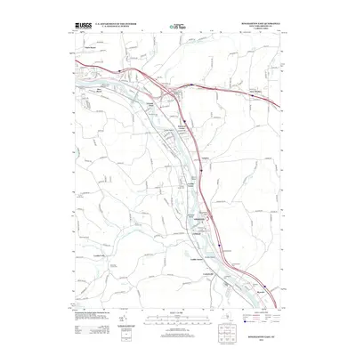
2013 Map of Binghamton East
USGS Topo · Published 2013About this map
The Susquehanna River carves a deep valley through this Broome County landscape, defining the corridor for settlements like Fivemile Point, Kirkwood Center, and Conklin. The river's influence is evident in the numerous islands such as Collier Island and Berkalew Island, and the way transportation infrastructure clings to its banks. Further inland, the terrain rises toward the State Line Rd, where smaller water bodies like Horton Cr and Little Snake Cr drain the higher ground.
Find a feature on this map
186 named features on this map. Tap any name to fly to it.
Don’t see what you’re looking for? This feature index may not catch every label — zoom into the map to look around manually.
Map Details
Editions of this 2013 Binghamton East Map
This is the sole edition of this map. No revisions or reprints were ever made.
Other maps of this area

1904 · Binghamton
USGS Topo · 1:62,500

1905 · Nineveh
USGS Topo · 1:62,500

1932 · Susquehanna
USGS Topo · 1:62,500

1934 · Castle Creek
USGS Topo · 1:24,000

1935 · Binghamton West
USGS Topo · 1:24,000

1935 · Chenango Forks
USGS Topo · 1:24,000

1935 · Susquehanna
USGS Topo · 1:62,500

1937 · Binghamton East
USGS Topo · 1:24,000

1942 · Binghamton West
USGS Topo · 1:31,680

1942 · Castle Creek
USGS Topo · 1:31,680