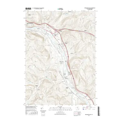
2016 Map of Binghamton East
USGS Topo · Published 2016About this map
The Susquehanna River winds southward through this 2016 survey of Broome County, carving a valley that defines the local geography and transportation corridors. Several river islands, including Collier Island, Moore Island, and Conklin Island, break the water's path near the settlements of Kirkwood and Conklin. This map is particularly valuable for genealogical research, documenting several smaller family burial grounds such as the Levee Family Cem and Finch Family Cem, alongside larger sites like the Temple Israel Riverside Cem. The development pattern follows the river and the Conrail line, connecting community hubs from Binghamton in the northwest down to Riverside and Corbettsville near the southern border. The uplands away from the river are marked by distinct hollows and ravines, such as Popes Ravine and Sherwood Hollow, where the landscape transitions into a more rural character defined by secondary roads and creek branches.
Find a feature on this map
148 named features on this map. Tap any name to fly to it.
Don’t see what you’re looking for? This feature index may not catch every label — zoom into the map to look around manually.
Map Details
Editions of this 2016 Binghamton East Map
This is the sole edition of this map. No revisions or reprints were ever made.
Other maps of this area

1904 · Binghamton
USGS Topo · 1:62,500

1905 · Nineveh
USGS Topo · 1:62,500

1932 · Susquehanna
USGS Topo · 1:62,500

1934 · Castle Creek
USGS Topo · 1:24,000

1935 · Binghamton West
USGS Topo · 1:24,000

1935 · Chenango Forks
USGS Topo · 1:24,000

1935 · Susquehanna
USGS Topo · 1:62,500

1937 · Binghamton East
USGS Topo · 1:24,000

1942 · Binghamton West
USGS Topo · 1:31,680

1942 · Castle Creek
USGS Topo · 1:31,680