
2012 Map of Birch Creek Ranch
USGS Topo · Published 2012About this map
Big Smoky Valley dominates this 2012 topographic record of central Nevada, where the vast desert floor is marked by ephemeral watercourses and isolated ranching outposts. This portion of Lander County shows the intersection of rugged terrain and livestock management, anchored by the presence of Birch Creek Ranch and Laborde Ranch. These settlements are situated along the western edge of the valley, where drainage from the surrounding uplands provides vital water sources. Intermittent streams such as Lynch Cr and Tar Cr flow eastward from the higher elevations, carving delicate pathways across the alluvial fans. The infrastructure is characterized by forest and valley access routes, including Nfd 053 Trl and Nfd 001 Rd, which facilitate movement through this sparsely populated cattle country. The map provides a clear view of the arid landscape’s hydrology and the physical isolation of early 21st-century Great Basin ranch life.
Find a feature on this map
7 named features on this map. Tap any name to fly to it.
Don’t see what you’re looking for? This feature index may not catch every label — zoom into the map to look around manually.
Map Details
Editions of this 2012 Birch Creek Ranch Map
This is the sole edition of this map. No revisions or reprints were ever made.
Other maps of this area
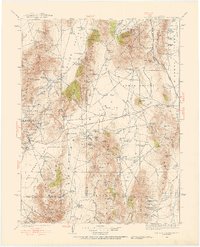
1926 · Roberts Mountains
USGS Topo · 1:250,000
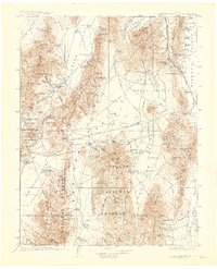
1929 · Roberts Mountains
USGS Topo · 1:250,000

1955 · Millett
USGS Topo · 1:250,000
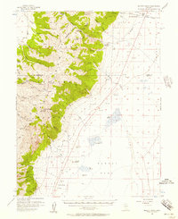
1956 · Millett Ranch
USGS Topo · 1:62,500
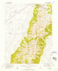
1956 · Austin
USGS Topo · 1:62,500

1959 · Millett
USGS Topo · 1:250,000
1960 · Spencer Hot Springs
USGS Topo · 1:62,500
1960 · Wildcat Peak
USGS Topo · 1:62,500
1978 · Summit Mountain
USGS Topo · 1:100,000
1985 · Smith Creek Valley
USGS Topo · 1:100,000