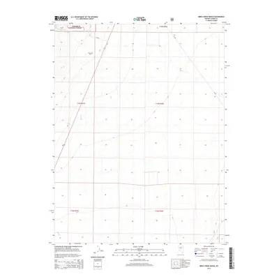
2014 Map of Birch Creek Ranch
USGS Topo · Published 2014About this map
Birch Creek Ranch stands as a primary point of human settlement in this high-elevation landscape of Lander County, Nevada. Located along the western edge of the Toiyabe National Forest, the ranch is positioned where the mountain slopes meet the drainage of Birch Cr. The map details the intricate township and range system, showing the boundaries between T18N R45E and T17N R44E, reflecting the organized land management typical of the American West. The terrain is defined by its watercourses, with Tar Cr flowing through the foothills nearby. This survey documents the intersection of public forest lands and private ranching interests, illustrating the persistent agricultural and conservation footprints in the region.
Find a feature on this map
9 named features on this map. Tap any name to fly to it.
Don’t see what you’re looking for? This feature index may not catch every label — zoom into the map to look around manually.
Map Details
Editions of this 2014 Birch Creek Ranch Map
This is the sole edition of this map. No revisions or reprints were ever made.
Other maps of this area
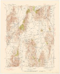
1926 · Roberts Mountains
USGS Topo · 1:250,000
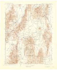
1929 · Roberts Mountains
USGS Topo · 1:250,000

1955 · Millett
USGS Topo · 1:250,000
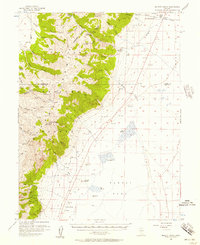
1956 · Millett Ranch
USGS Topo · 1:62,500
1956 · Austin
USGS Topo · 1:62,500

1959 · Millett
USGS Topo · 1:250,000
1960 · Spencer Hot Springs
USGS Topo · 1:62,500
1960 · Wildcat Peak
USGS Topo · 1:62,500
1978 · Summit Mountain
USGS Topo · 1:100,000
1985 · Smith Creek Valley
USGS Topo · 1:100,000