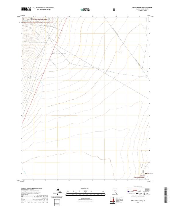
2021 Map of Birch Creek Ranch
USGS Topo · Published 2021About this map
The Toiyabe National Forest dominates the high ground in this area of Lander County, providing a stark contrast to the open floor of the Big Smoky Valley. This modern topographical survey illustrates the drainage patterns of the Great Basin, where seasonal watercourses like Birch Cr and Tar Cr flow down from the heights toward the valley floor. The landscape is primarily defined by the Public Land Survey System grid, which segments the vast stretches of public land. Transportation is limited to rugged access routes such as Natl Forest Develop Road 053 Rd and Natl Forest Develop Road 001 Rd, which wind through the foothills. Further south, Rock Cr cuts across the lower sections of the map, tracing the natural contours of the terrain as it exits the forest boundaries.
Find a feature on this map
13 named features on this map. Tap any name to fly to it.
Don’t see what you’re looking for? This feature index may not catch every label — zoom into the map to look around manually.
Map Details
Editions of this 2021 Birch Creek Ranch Map
This is the sole edition of this map. No revisions or reprints were ever made.
Other maps of this area

1926 · Roberts Mountains
USGS Topo · 1:250,000

1929 · Roberts Mountains
USGS Topo · 1:250,000

1955 · Millett
USGS Topo · 1:250,000

1956 · Millett Ranch
USGS Topo · 1:62,500

1956 · Austin
USGS Topo · 1:62,500

1959 · Millett
USGS Topo · 1:250,000

1960 · Spencer Hot Springs
USGS Topo · 1:62,500

1960 · Wildcat Peak
USGS Topo · 1:62,500

1978 · Summit Mountain
USGS Topo · 1:100,000

1985 · Smith Creek Valley
USGS Topo · 1:100,000