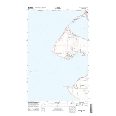
2014 Map of Birch Point
USGS Topo · Published 2014About this map
Semiahmoo Spit stretches into the waters where Drayton Harbor meets the Puget Sound, illustrating the complex coastal geography of the Washington-British Columbia borderlands. The residential and maritime character of the region is well-defined, from the Port of Blaine and Semiahmoo Marina in the north to the Birch Bay Village Marina tucked behind Birch Point. This 2014 survey documents the dense subdivision of the shoreline, particularly around Cottonwood Beach and the planned developments surrounding the Birch Bay Village Golf Course. Moving inland from the Strait of Georgia, the landscape transitions into a network of residential roads like Semiahmoo Pkwy and Birch Bay Dr, which trace the contours of the bay. Hydrological features such as Terrell Creek and the Unruh Reservoir provide essential drainage for the low-lying coastal plains near Point Whitehorn.
Find a feature on this map
77 named features on this map. Tap any name to fly to it.
Don’t see what you’re looking for? This feature index may not catch every label — zoom into the map to look around manually.
Map Details
Editions of this 2014 Birch Point Map
This is the sole edition of this map. No revisions or reprints were ever made.
Other maps of this area

1907 · Blaine
USGS Topo · 1:62,500

1952 · Birch Point
USGS Topo · 1:24,000

1952 · Lummi Bay
USGS Topo · 1:24,000

1952 · Blaine
USGS Topo · 1:24,000

1952 · Blaine
USGS Topo · 1:62,500

1957 · Victoria
USGS Topo · 1:250,000

1973 · Sucia Island
USGS Topo · 1:24,000

1975 · Bellingham
USGS Topo · 1:100,000
1997 · Lummi Bay
USGS Topo · 1:24,000
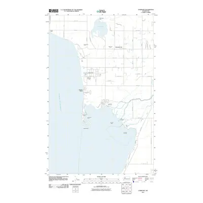
2011 · Lummi Bay
USGS Topo · 1:24,000