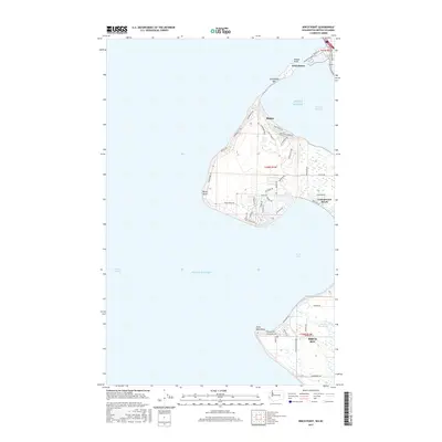
2017 Map of Birch Point
USGS Topo · Published 2017About this map
Semiahmoo Spit stretches northward toward the Canadian border, separating the open waters of Puget Sound from the sheltered reaches of Drayton Harbor. This coastal landscape at the edge of Blaine shows a mix of residential development and preserved shoreline, with roads like Semiahmoo Dr and Birch Bay Dr following the contours of the peninsula.
Find a feature on this map
56 named features on this map. Tap any name to fly to it.
Don’t see what you’re looking for? This feature index may not catch every label — zoom into the map to look around manually.
Map Details
Editions of this 2017 Birch Point Map
This is the sole edition of this map. No revisions or reprints were ever made.
Other maps of this area

1907 · Blaine
USGS Topo · 1:62,500

1952 · Birch Point
USGS Topo · 1:24,000

1952 · Lummi Bay
USGS Topo · 1:24,000

1952 · Blaine
USGS Topo · 1:24,000

1952 · Blaine
USGS Topo · 1:62,500

1957 · Victoria
USGS Topo · 1:250,000

1973 · Sucia Island
USGS Topo · 1:24,000

1975 · Bellingham
USGS Topo · 1:100,000
1997 · Lummi Bay
USGS Topo · 1:24,000
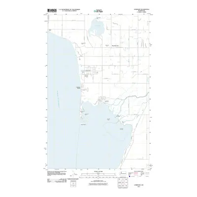
2011 · Lummi Bay
USGS Topo · 1:24,000