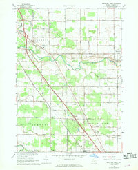
1967 Map of Birch Run North
USGS Topo · Published 1968About this map
The Cass River winds across this Saginaw County landscape, dividing the agricultural townships of Bridgeport and Frankenmuth. This 1967 survey captures a period of significant automotive influence, anchored by the Dixie Highway and the Dixie Highway Racetrack. To the north, the village of Frankenmuth begins to take shape around St Lorenz Ch, while the southern reaches near Birch Run show a transition toward more intensive industrial and transit infrastructure, including several Weight Stations and the Chesapeake and Ohio railway corridor.
Find a feature on this map
63 named features on this map. Tap any name to fly to it.
Don’t see what you’re looking for? This feature index may not catch every label — zoom into the map to look around manually.
Map Details
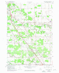
Editions of this 1967 Birch Run North Map
2 editions found
Other maps of this area

1919 · Saginaw
USGS Topo · 1:62,500

1919 · Burt
USGS Topo · 1:62,500

1920 · Flint
USGS Topo · 1:62,500

1921 · Burt
USGS Topo · 1:62,500

1922 · Flint
USGS Topo · 1:62,500

1941 · Saginaw
USGS Topo · 1:62,500

1943 · Burt
USGS Topo · 1:62,500

1943 · Saginaw
USGS Topo · 1:62,500

1943 · Flint
USGS Topo · 1:62,500

1954 · Flint
USGS Topo · 1:250,000
Featured Places
- City of Frankenmuth, MI
- Birch Run, MI
- Frankenmuth Township, MI
- Bridgeport Charter Township, MI
- Taymouth Township, MI