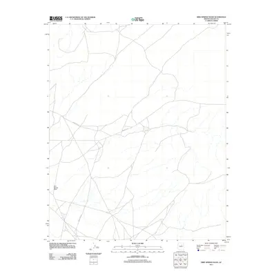
2011 Map of Bird Springs Wash
USGS Topo · Published 2011About this map
Bird Springs Wash carves a central path through this high desert terrain in the Navajo Nation, defining the primary drainage for this portion of Navajo County. The landscape is marked by a network of regional thoroughfares, most notably the intersection of Indian Rte 15 and Indian Rte 6811. These routes, along with Indian Rte 6830 further south, represent the vital transportation corridors connecting dispersed residential clusters and grazing lands within the Fort Defiance Agency. The 2011 survey reveals a sparse settlement pattern where roads follow the natural topography of the wash, illustrating how water and access dictate the human geography of the Arizona plateau.
Find a feature on this map
4 named features on this map. Tap any name to fly to it.
Don’t see what you’re looking for? This feature index may not catch every label — zoom into the map to look around manually.
Map Details
Editions of this 2011 Bird Springs Wash Map
This is the sole edition of this map. No revisions or reprints were ever made.
Other maps of this area
1883 · Tusayan
USGS Topo · 1:250,000
1886 · Tusayan
USGS Topo · 1:250,000

1947 · Flagstaff
USGS Topo · 1:250,000
1954 · Winslow
USGS Topo · 1:62,500
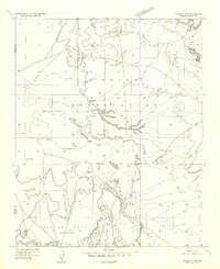
1954 · Winslow 4 NW
USGS Topo · 1:24,000
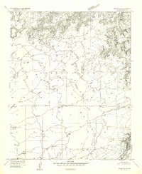
1954 · Winslow 4 NE
USGS Topo · 1:24,000
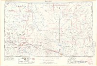
1954 · Flagstaff
USGS Topo · 1:250,000
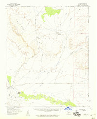
1955 · Leupp
USGS Topo · 1:62,500
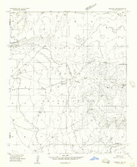
1957 · Winslow 1 SW
USGS Topo · 1:24,000
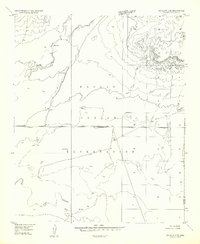
1957 · Winslow 2 SE
USGS Topo · 1:24,000