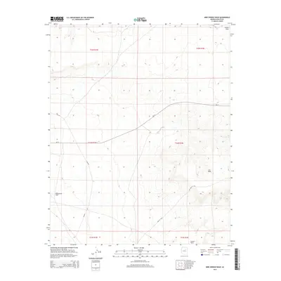
2014 Map of Bird Springs Wash
USGS Topo · Published 2014About this map
Bird Springs Wash and Coyote Wash define the drainage patterns of this high desert landscape within the Fort Defiance Agency. The terrain is marked by dramatic elevation changes, notably along the Edge of Mesa that transitions into the broad profile of Ives Mesa. This 2014 survey documents the vital infrastructure of the region, specifically the Bureau of Indian Affairs road network, including the primary route Bia-15 and its connectors like Bia-6830. The presence of the namesake Bird Springs indicates a crucial water source in an otherwise arid environment, serving as a focal point for understanding local movement and land use. The map provides a clear look at the intersection of natural topography and tribal transportation routes at the start of the twenty-first century.
Find a feature on this map
14 named features on this map. Tap any name to fly to it.
Don’t see what you’re looking for? This feature index may not catch every label — zoom into the map to look around manually.
Map Details
Editions of this 2014 Bird Springs Wash Map
This is the sole edition of this map. No revisions or reprints were ever made.
Other maps of this area
1883 · Tusayan
USGS Topo · 1:250,000
1886 · Tusayan
USGS Topo · 1:250,000

1947 · Flagstaff
USGS Topo · 1:250,000
1954 · Winslow
USGS Topo · 1:62,500
1954 · Winslow 4 NW
USGS Topo · 1:24,000
1954 · Winslow 4 NE
USGS Topo · 1:24,000
1954 · Flagstaff
USGS Topo · 1:250,000
1955 · Leupp
USGS Topo · 1:62,500
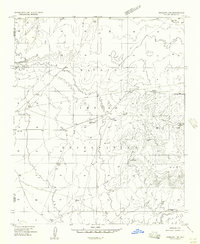
1957 · Winslow 1 SW
USGS Topo · 1:24,000
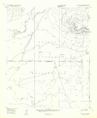
1957 · Winslow 2 SE
USGS Topo · 1:24,000