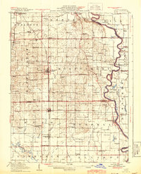
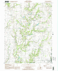
1917 Map of Birds
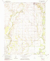
USGS Topo · Published 1943About this map
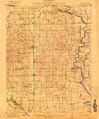
The Wabash River and its wandering floodplains dominate this territory along the Illinois and Indiana border, creating a landscape defined by oxbows like Buzzard Pond and Grays Pond. In the early twentieth century, this region was a network of rural school districts and small villages connected by the Chicago and Cincinnati St Louis RR. The density of educational landmarks, from the McCarthy School in the northwest to the Rising Sun School in the south, illustrates the decentralized community structure of the era. Settlement concentrated in towns such as Robinson, Palestine, and Flat Rock, while river life relied on historic crossings like the Brightlight Ferry and Shaws Landing. Low-lying areas near the Embarrass River show extensive drainage efforts, including the Beaver Pond Ditch, reflecting the ongoing effort to reclaim fertile bottomlands for agriculture.
Find a feature on this map
84 named features on this map. Tap any name to fly to it.
Don’t see what you’re looking for? This feature index may not catch every label — zoom into the map to look around manually.
Map Details
Editions of this 1917 Birds Map
2 editions found
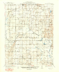
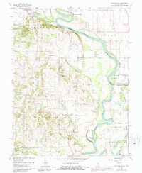
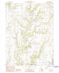
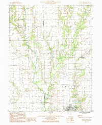
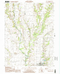
Historical Maps of Robinson Through Time
30 maps found
1910 Hardinville
Crawford County, IL
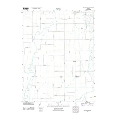
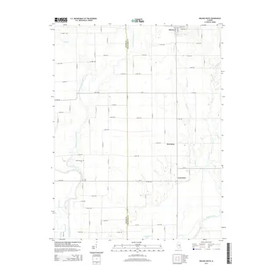
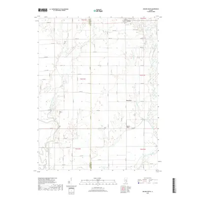
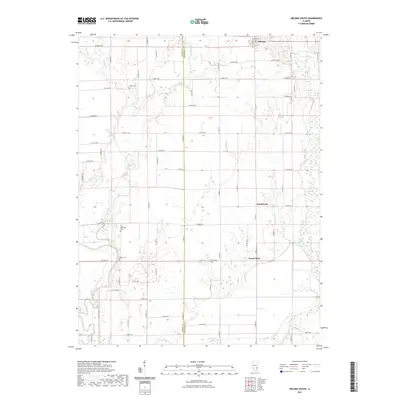
1917 Birds
Crawford County, IL

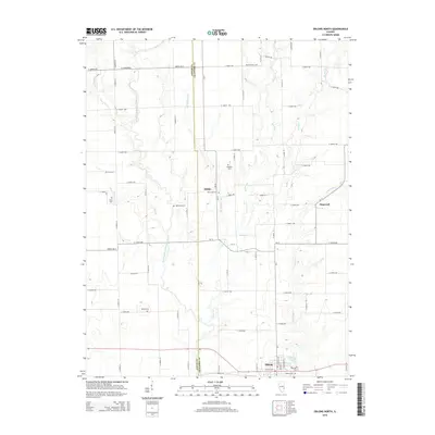
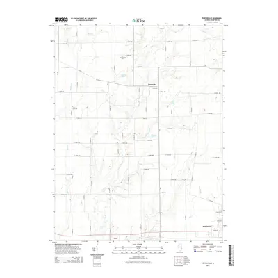
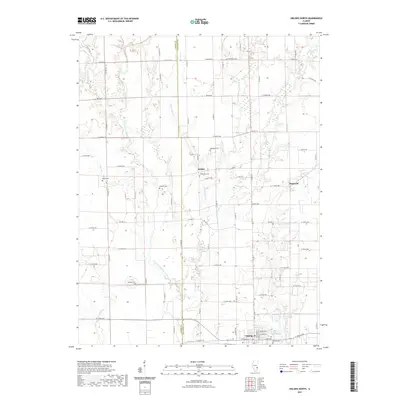
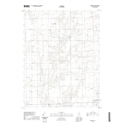
1942 Birds
Crawford County, IL
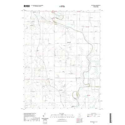
1964 Heathsville
Crawford County, IL
1968 Oblong South
Crawford County, IL
1985 Eaton
Crawford County, IL
1985 Oblong North
Crawford County, IL
1998 Oblong North
Crawford County, IL
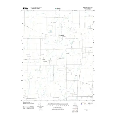
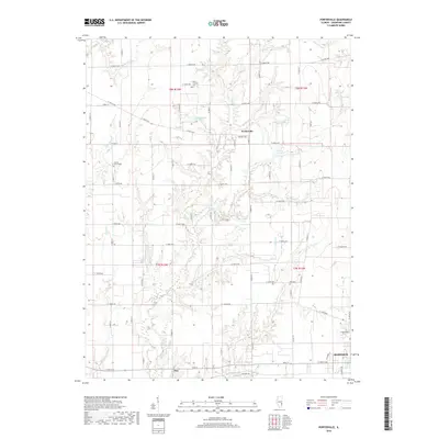
1998 Porterville
Crawford County, IL
2010 Heathsville
Crawford County, IL
2012 Heathsville
Crawford County, IL
2012 Oblong North
Crawford County, IL
2012 Oblong South
Crawford County, IL
2012 Porterville
Crawford County, IL
2015 Heathsville
Crawford County, IL
2015 Oblong North
Crawford County, IL
2015 Oblong South
Crawford County, IL
2015 Porterville
Crawford County, IL
2018 Heathsville
Crawford County, IL
2018 Oblong North
Crawford County, IL
2018 Oblong South
Crawford County, IL
2018 Porterville
Crawford County, IL
2021 Heathsville
Crawford County, IL
2021 Oblong North
Crawford County, IL
2021 Oblong South
Crawford County, IL
2021 Porterville
Crawford County, IL
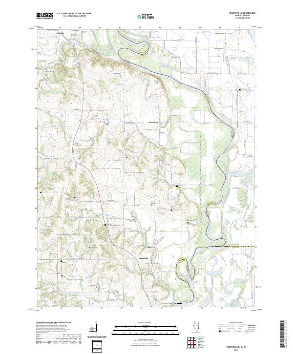
2024 Heathsville
Crawford County, IL
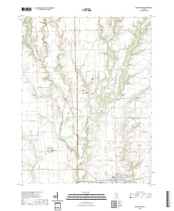
2024 Oblong North
Crawford County, IL
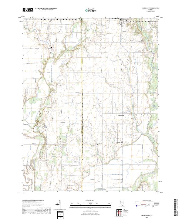
2024 Oblong South
Crawford County, IL
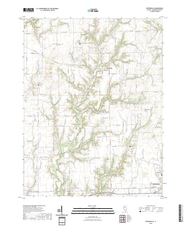
2024 Porterville
Crawford County, IL