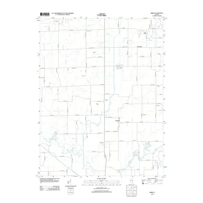
2012 Map of Birds
USGS Topo · Published 2012About this map
Pinkstaff stands as a focal point in this portion of Lawrence County, centered around a local Po and a network of rural roads such as Co Hwy 17. The landscape is defined by the winding course of the Embarras River and its Old Channel, which create a complex drainage pattern alongside Brushy Cr and Birch Cr.
Find a feature on this map
49 named features on this map. Tap any name to fly to it.
Don’t see what you’re looking for? This feature index may not catch every label — zoom into the map to look around manually.
Map Details
Editions of this 2012 Birds Map
This is the sole edition of this map. No revisions or reprints were ever made.
Other maps of this area

1910 · Hardinville
USGS Topo · 1:62,500

1911 · Sumner
USGS Topo · 1:62,500

1913 · Sumner
USGS Topo · 1:62,500

1915 · Vincennes
USGS Topo · 1:62,500

1917 · Birds
USGS Topo · 1:62,500

1942 · Birds
USGS Topo · 1:62,500

1944 · Vincennes
USGS Topo · 1:62,500

1956 · Vincennes
USGS Topo · 1:250,000

1957 · Vincennes
USGS Topo · 1:250,000

1958 · Vincennes
USGS Topo · 1:250,000