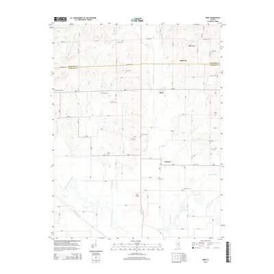
2015 Map of Birds
USGS Topo · Published 2015About this map
Riddleville and Pinkstaff anchor this 2015 survey of the Illinois borderlands between Crawford and Lawrence counties. The landscape is defined by the wandering path of the Embarras River, including its distinctive Old Channel Embarras River, which creates a complex drainage system alongside Brushy Creek and Otter Pond Ditch. This area serves as a rich resource for genealogists, featuring an unusually high density of small family or community burial grounds including Nuttle Cem, Conover Cem, and Dollahan Cem. The grid of rural roads like Birds Ln and E Lawrence Ave connects these scattered landmarks, while the name Oil Grove suggests the region's historical industrial ties. Local history is etched into the landscape through the numerous named cemeteries and the small settlement of Birds, providing a detailed look at the rural heritage of these two counties.
Find a feature on this map
59 named features on this map. Tap any name to fly to it.
Don’t see what you’re looking for? This feature index may not catch every label — zoom into the map to look around manually.
Map Details
Editions of this 2015 Birds Map
This is the sole edition of this map. No revisions or reprints were ever made.
Other maps of this area

1910 · Hardinville
USGS Topo · 1:62,500

1911 · Sumner
USGS Topo · 1:62,500

1913 · Sumner
USGS Topo · 1:62,500

1915 · Vincennes
USGS Topo · 1:62,500

1917 · Birds
USGS Topo · 1:62,500

1942 · Birds
USGS Topo · 1:62,500

1944 · Vincennes
USGS Topo · 1:62,500

1956 · Vincennes
USGS Topo · 1:250,000

1957 · Vincennes
USGS Topo · 1:250,000

1958 · Vincennes
USGS Topo · 1:250,000