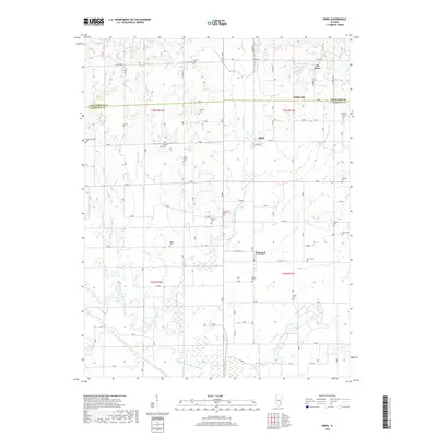
2018 Map of Birds
USGS Topo · Published 2018About this map
Birds and Pinkstaff anchor this Lawrence County landscape, where the agricultural plains are deeply etched by the drainage networks of the Embarras River and its various tributaries. The map reveals a high density of small family and community burial grounds, such as Nuttle Cem and Cotton Cem, scattered across the township lines of T5N and T4N. These sites, alongside smaller settlements like Oil Grove and Riddleville, provide a detailed look at the rural settlement pattern before modern consolidation. The southern portion of the sheet is defined by the hydrologic complexity of the Old Channel Embarras River and the Otter Pond Ditch, illustrating how generations of inhabitants managed the wet bottomlands for farming. The presence of numerous cemeteries like Dollahan Cem and Mickey Cem near the winding courses of Birch Cr and Brushy Creek reflects a long-standing local history tied to these specific drainages.
Find a feature on this map
37 named features on this map. Tap any name to fly to it.
Don’t see what you’re looking for? This feature index may not catch every label — zoom into the map to look around manually.
Map Details
Editions of this 2018 Birds Map
This is the sole edition of this map. No revisions or reprints were ever made.
Other maps of this area

1910 · Hardinville
USGS Topo · 1:62,500

1911 · Sumner
USGS Topo · 1:62,500

1913 · Sumner
USGS Topo · 1:62,500

1915 · Vincennes
USGS Topo · 1:62,500

1917 · Birds
USGS Topo · 1:62,500

1942 · Birds
USGS Topo · 1:62,500

1944 · Vincennes
USGS Topo · 1:62,500

1956 · Vincennes
USGS Topo · 1:250,000

1957 · Vincennes
USGS Topo · 1:250,000

1958 · Vincennes
USGS Topo · 1:250,000