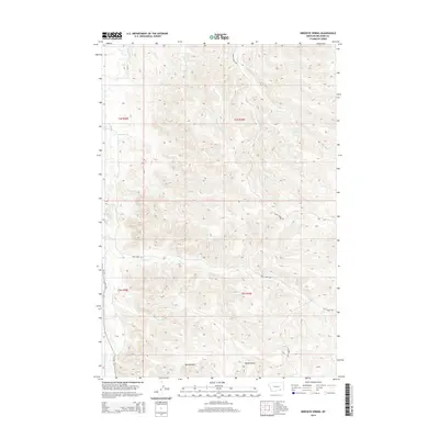
2014 Map of Birdseye Spring
USGS Topo · Published 2014About this map
Birdseye Spring serves as a central hydrological landmark within this portion of Big Horn County, situated among the complex drainage networks of the northern plains. The landscape is defined by its numerous named watercourses, including the north-flowing Rosebud Cr and the branching systems of Busby Cr and S Fork Busby Cr. This 2014 survey documents a territory where topography and water sources dictate the layout of rural travel, with Trail Creek Rd and Busby Creek Rd following the natural contours of the land. The presence of features like Spring Gulch, Sheep Gulch, and Skunk Cr reflects a history of local land use tied to the specific geology and seasonal hydrology of the region. The map also traces the path of MT-314 as it skirts the western edge of the quadrangle, paralleling the valley floor.
Find a feature on this map
20 named features on this map. Tap any name to fly to it.
Don’t see what you’re looking for? This feature index may not catch every label — zoom into the map to look around manually.
Map Details
Editions of this 2014 Birdseye Spring Map
This is the sole edition of this map. No revisions or reprints were ever made.
Other maps of this area

1894 · Rosebud
USGS Topo · 1:125,000

1901 · Rosebud
USGS Topo · 1:125,000

1954 · Hardin
USGS Topo · 1:250,000

1957 · Hardin
USGS Topo · 1:250,000

1958 · Hardin
USGS Topo · 1:250,000

1958 · Painted Hill
USGS Topo · 1:24,000

1958 · Bull Creek Lookout
USGS Topo · 1:24,000

1958 · Busby
USGS Topo · 1:24,000

1958 · Birdseye Spring
USGS Topo · 1:24,000

1967 · Kirby
USGS Topo · 1:24,000