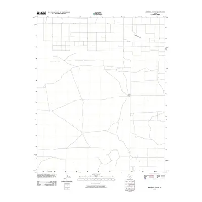
2010 Map of Birdwell Ranch
USGS Topo · Published 2010About this map
Birdwell Ranch and the intermittent drainage of Blackwater Draw characterize this agricultural portion of Bailey County during the early 21st century. The landscape is defined by a rigid grid of rural roads and section lines, demonstrating the systematic land division of the Texas Panhandle. Modern transportation is facilitated by several Farm to Market roads, including Fm 1760 in the north and Fm 746 in the south, which connect isolated ranching operations to the wider region. The network of local routes like Co RD 44 and Co RD 93 provides access to the expansive fields and ranch lands that dominate the area, reflecting a persistent reliance on large-scale livestock and crop production typical of the High Plains.
Find a feature on this map
14 named features on this map. Tap any name to fly to it.
Don’t see what you’re looking for? This feature index may not catch every label — zoom into the map to look around manually.
Map Details
Editions of this 2010 Birdwell Ranch Map
This is the sole edition of this map. No revisions or reprints were ever made.
Other maps of this area

1954 · Clovis
USGS Topo · 1:250,000

1957 · Clovis
USGS Topo · 1:62,500

1957 · Arch
USGS Topo · 1:62,500

1958 · Clovis
USGS Topo · 1:250,000

1962 · Stegall
USGS Topo · 1:24,000

1962 · Birdwell Ranch
USGS Topo · 1:24,000

1962 · Baileyboro NE
USGS Topo · 1:24,000

1962 · Baileyboro
USGS Topo · 1:24,000

1963 · Lariat
USGS Topo · 1:24,000

1963 · Progress
USGS Topo · 1:24,000