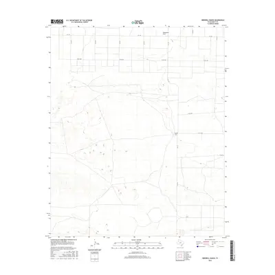
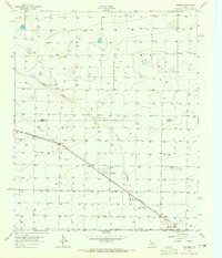
2016 Map of Birdwell Ranch
USGS Topo · Published 2016About this map
Birdwell Ranch stands as the primary namesake landmark in this corner of the High Plains, situated within a landscape defined by an extensive network of farm-to-market roads and county lines. The ephemeral hydrology of Blackwater Draw cuts across the northern reaches, a characteristic feature of the Llano Estacado's drainage patterns. This 2016 survey illustrates a highly structured rural grid, where transportation is facilitated by routes such as FM 1731 and FM 1760. The map documents the enduring ranching and agricultural character of Bailey County, recording the specific intersections and local corridors like Co RD 1058 and Co RD 1088 that connect isolated homesteads and ranching operations across the West Texas terrain.
Find a feature on this map
15 named features on this map. Tap any name to fly to it.
Don’t see what you’re looking for? This feature index may not catch every label — zoom into the map to look around manually.
Map Details
Editions of this 2016 Birdwell Ranch Map
This is the sole edition of this map. No revisions or reprints were ever made.
Other maps of this area

1954 · Clovis
USGS Topo · 1:250,000
1957 · Clovis
USGS Topo · 1:62,500
1957 · Arch
USGS Topo · 1:62,500

1958 · Clovis
USGS Topo · 1:250,000
1962 · Stegall
USGS Topo · 1:24,000
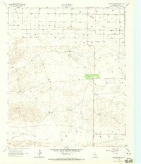
1962 · Birdwell Ranch
USGS Topo · 1:24,000
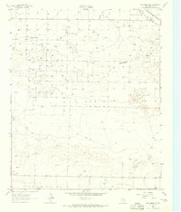
1962 · Baileyboro NE
USGS Topo · 1:24,000
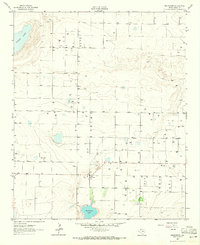
1962 · Baileyboro
USGS Topo · 1:24,000
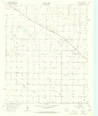
1963 · Lariat
USGS Topo · 1:24,000
1963 · Progress
USGS Topo · 1:24,000