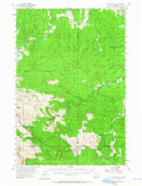
1955 Map of Birkenfeld
USGS Topo · Published 1965About this map
The Nehalem River winds through the forested highlands of northwest Oregon, anchoring a landscape defined by mid-century timber extraction and remote settlements. At the heart of the Nehalem Valley, the small communities of Birkenfeld and Mist serve as hubs for the surrounding drainage basins of Deep Creek and Fishhawk Creek. The map documents a transition in infrastructure, showing the Sunset Highway cutting through the southern mountains alongside remnants of earlier eras, such as the Military Road and sections of Old Railroad Grade. This mid-1950s survey captures the operational footprint of the logging industry, notably through industrial sites like Camp McGregor and Buster Camp, and the vanished Vesper Sch. Cultural landmarks such as the Sterling Guard Sta and Sunset Highway State Park illustrate the region's balance between resource management and public land preservation.
Find a feature on this map
53 named features on this map. Tap any name to fly to it.
Don’t see what you’re looking for? This feature index may not catch every label — zoom into the map to look around manually.
Map Details
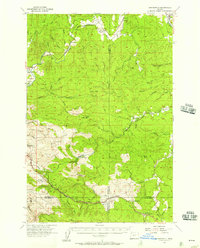
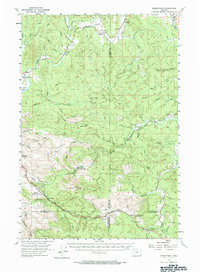
Editions of this 1955 Birkenfeld Map
3 editions found
Other maps of this area

1919 · Mayger
USGS Topo · 1:62,500

1937 · Enright
USGS Topo · 1:62,500

1939 · Saddle Mountain
USGS Topo · 1:62,500

1940 · Svensen
USGS Topo · 1:62,500

1940 · Vernonia
USGS Topo · 1:62,500

1941 · Keasey
USGS Topo · 1:62,500

1941 · Timber
USGS Topo · 1:62,500

1941 · Enright
USGS Topo · 1:62,500

1941 · Gales Creek
USGS Topo · 1:62,500

1941 · Clatskanie
USGS Topo · 1:62,500