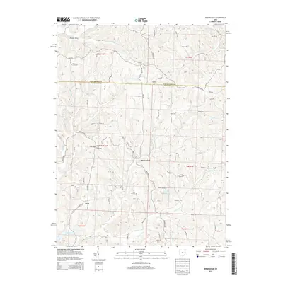
2013 Map of Birmingham
USGS Topo · Published 2013About this map
Birmingham sits at a crossroads in the hills where the border of Tuscarawas and Guernsey counties meets, serving as a focal point for a landscape defined by its numerous small burial grounds and family plots. Genealogists will find a high density of rural cemeteries, including the Couts Family Cem, Wesley Chapel Cem, and the dual Old Peoli Cem and New Peoli Cem near the settlement of Peoli.
Find a feature on this map
119 named features on this map. Tap any name to fly to it.
Don’t see what you’re looking for? This feature index may not catch every label — zoom into the map to look around manually.
Map Details
Editions of this 2013 Birmingham Map
This is the sole edition of this map. No revisions or reprints were ever made.
Other maps of this area

1909 · Antrim
USGS Topo · 1:48,000

1909 · Uhrichsville
USGS Topo · 1:62,500

1909 · Cambridge
USGS Topo · 1:62,500

1911 · Antrim
USGS Topo · 1:62,500

1911 · Uhrichsville
USGS Topo · 1:62,500

1911 · Newcomerstown
USGS Topo · 1:62,500

1912 · Cambridge
USGS Topo · 1:62,500

1913 · Newcomerstown
USGS Topo · 1:62,500

1943 · Newcomerstown
USGS Topo · 1:62,500

1951 · Canton
USGS Topo · 1:250,000