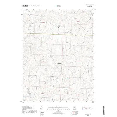
2019 Map of Birmingham
USGS Topo · Published 2019About this map
Birmingham sits at the intersection of Birmingham Rd and Co Hwy 870, serving as a central point for this rural Ohio landscape. The area is defined by its deep genealogical roots, visible through a high density of burial grounds including the Couts Family Cem and the Irish Ridge Cem. The terrain is shaped by several significant watercourses, notably the Sugartree Fork and Rocky Fork, which carve through the ridges.
Find a feature on this map
104 named features on this map. Tap any name to fly to it.
Don’t see what you’re looking for? This feature index may not catch every label — zoom into the map to look around manually.
Map Details
Editions of this 2019 Birmingham Map
This is the sole edition of this map. No revisions or reprints were ever made.
Other maps of this area

1909 · Antrim
USGS Topo · 1:48,000

1909 · Uhrichsville
USGS Topo · 1:62,500

1909 · Cambridge
USGS Topo · 1:62,500

1911 · Antrim
USGS Topo · 1:62,500

1911 · Uhrichsville
USGS Topo · 1:62,500

1911 · Newcomerstown
USGS Topo · 1:62,500

1912 · Cambridge
USGS Topo · 1:62,500

1913 · Newcomerstown
USGS Topo · 1:62,500

1943 · Newcomerstown
USGS Topo · 1:62,500

1951 · Canton
USGS Topo · 1:250,000