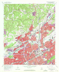
1959 Map of Birmingham North
USGS Topo · Published 1971About this map
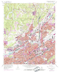
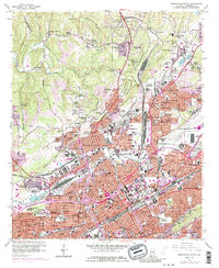
Industrial corridors and dense urban expansions define this mid-century portrait of Birmingham and its northern suburbs. The landscape is heavily marked by the intersection of major rail lines, including the Southern Railway, Illinois Central, and the Seaboard Coast Line, which serve the various quarries and strip mines scattered throughout Opossum Valley and Ensley Valley. Educational and civic life are anchored by institutions like Birmingham Southern College and Glenn Vocational High Sch, while the city’s sports history is represented by Rickwood Field. In the northern sections, residential growth reaches into Fultondale and Tarrant City, with purple overlays indicating significant urban development through 1970. Notable landmarks such as St. Pauls Cathedral, Oak Hill Cemetery, and Walker Chapel provide essential touchpoints for researchers tracing the religious and genealogical history of Jefferson County.
Find a feature on this map
120 named features on this map. Tap any name to fly to it.
Don’t see what you’re looking for? This feature index may not catch every label — zoom into the map to look around manually.
Map Details
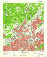
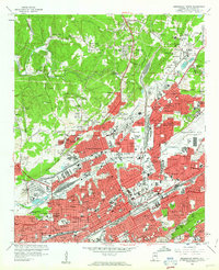
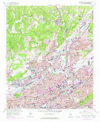
Editions of this 1959 Birmingham North Map
6 editions found
Other maps of this area

1889 · Birmingham
USGS Topo · 1:125,000

1890 · Bessemer
USGS Topo · 1:125,000

1892 · Birmingham
USGS Topo · 1:125,000

1892 · Bessemer
USGS Topo · 1:125,000

1895 · Birmingham
USGS Topo · 1:125,000

1904 · Birmingham Coal District
USGS Topo · 1:62,500

1905 · Bessemer Iron District
USGS Topo · 1:62,500

1905 · Leeds
USGS Topo · 1:62,500

1906 · Birmingham Special
USGS Topo · 1:62,500

1906 · Vandiver
USGS Topo · 1:62,500