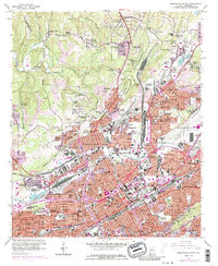
1959 Map of Birmingham North
USGS Topo · Published 1986About this map
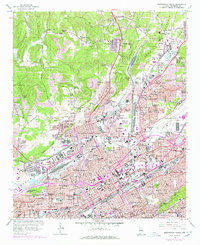
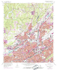
Birmingham Southern College and the industrial corridors of Possum Valley anchor this mid-century topographic view of Jefferson County. The landscape is defined by the convergence of major rail networks, including the Louisville and Nashville RR and the Seaboard Coast Line RR, which serve the expansive East Thomas Yards. Industrial activity is evident in the numerous Strip Mines, Quarry sites, and Borrow Pits that surround established neighborhoods like North Birmingham and Sayreton. The map traces the growth of residential districts from Tarrant City in the northeast to the civic heart of the city, featuring St Pauls Cathedral, the VA Hospital, and the Courthouse Library City Hall. From the sports legacy of Rickwood Field to the historic grounds of Oak Hill Cemetery, the sheet records the complex urban and industrial geography of Alabama's primary manufacturing hub.
Find a feature on this map
153 named features on this map. Tap any name to fly to it.
Don’t see what you’re looking for? This feature index may not catch every label — zoom into the map to look around manually.
Map Details
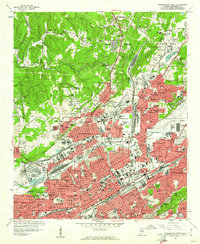
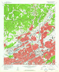
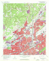
Editions of this 1959 Birmingham North Map
6 editions found
Other maps of this area

1889 · Birmingham
USGS Topo · 1:125,000

1890 · Bessemer
USGS Topo · 1:125,000

1892 · Birmingham
USGS Topo · 1:125,000

1892 · Bessemer
USGS Topo · 1:125,000

1895 · Birmingham
USGS Topo · 1:125,000

1904 · Birmingham Coal District
USGS Topo · 1:62,500

1905 · Bessemer Iron District
USGS Topo · 1:62,500

1905 · Leeds
USGS Topo · 1:62,500

1906 · Birmingham Special
USGS Topo · 1:62,500

1906 · Vandiver
USGS Topo · 1:62,500