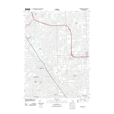
2011 Map of Birmingham
USGS Topo · Published 2011About this map
The Oakland-Troy Airport serves as a central landmark in this dense suburban landscape of Oakland County, where the sprawling residential street networks of Troy, Birmingham, and Royal Oak converge. This 2011 survey documents a highly developed metropolitan corridor defined by its extensive leisure and memorial spaces. Numerous golf courses, such as Sylvan Glen Golf Course and Lincoln Hills Golf Course, are interspersed among established neighborhoods.
Find a feature on this map
159 named features on this map. Tap any name to fly to it.
Don’t see what you’re looking for? This feature index may not catch every label — zoom into the map to look around manually.
Map Details
Editions of this 2011 Birmingham Map
This is the sole edition of this map. No revisions or reprints were ever made.
Other maps of this area

1905 · Wayne
USGS Topo · 1:62,500

1905 · Detroit
USGS Topo · 1:62,500

1907 · Pontiac
USGS Topo · 1:62,500

1908 · Rochester
USGS Topo · 1:62,500

1912 · Wayne
USGS Topo · 1:62,500

1918 · Detroit
USGS Topo · 1:62,500

1924 · Detroit
USGS Topo · 1:62,500

1934 · Detroit
USGS Topo · 1:62,500

1936 · Warren
USGS Topo · 1:31,680

1936 · Birmingham
USGS Topo · 1:31,680